Miura night lights from space
Night Light of Miura (Kanagawa) from space (Japan) Src. Average luminocity for 10x10km area is 8.2413% and for 50x50km: 13.9248%.
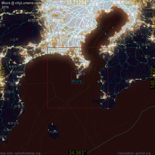
Analysis of Miura night lights 2016
Square area 10x10 km:
 0%
0%90-99
0.7%80-89
0.87%70-79
0.87%60-69
0.7%50-59
1.92%40-49
2.45%30-39
1.75%20-29
1.57%10-19
7.52%0-9
81.64%Square area 50x50 km:
2.6%90-99
3.54%80-89
1.7%70-79
1.48%60-69
1.82%50-59
1.42%40-49
1.29%30-39
2.05%20-29
3.62%10-19
5.11%0-9
75.36%Clear (daylight) street map image can be seen on geolist.org.
Map coordinates:
35° 42' 46.6" North, 138° 54' 57.8" East
35° 8' 24" North, 139° 37' 9" East
34° 33' 46.8" North, 140° 19' 20.3" East
Some cities around Miura sort by population:
• Yokosuka
16.6 km =10.3 mi,  15°
15°
• Fujisawa
26.6 km =16.5 mi,  330°
330°
• Chigasaki
29.3 km =18.2 mi,  318°
318°
• Kamakura
19.8 km =12.3 mi,  341°
341°
• Zushi
17.6 km =10.9 mi,  347°
347°
• Futtsu
26.3 km =16.3 mi,  43°
43°
• Tateyama
28.5 km =17.7 mi,  127°
127°
• Hayama
15.6 km =9.7 mi, 345°
1907309 (p: 51,483)
Sources (retrieved 2019-11-25):
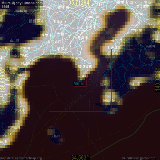
» NASA, Earths city lights 1995
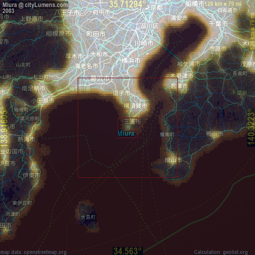
» NASA city lights 2003
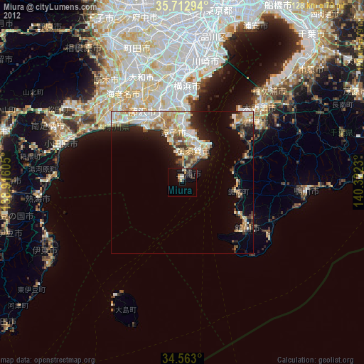
» Earth at Night: Flat Maps 2012, 2016