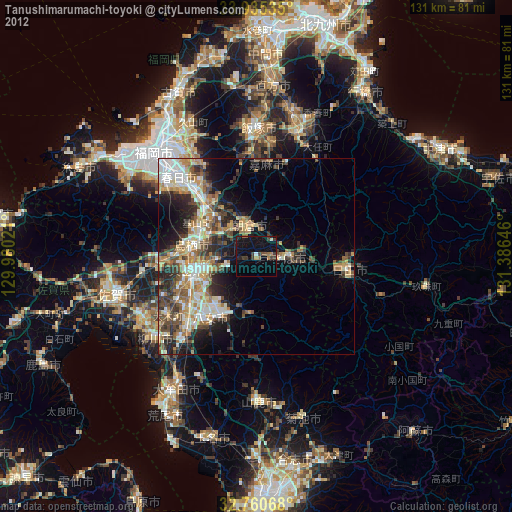
Tanushimarumachi-toyoki night lights from space
Night Light of Tanushimarumachi-toyoki (Fukuoka) from space (Japan) Src. Average luminocity for 10x10km area is 6.6556% and for 50x50km: 18.3068%.
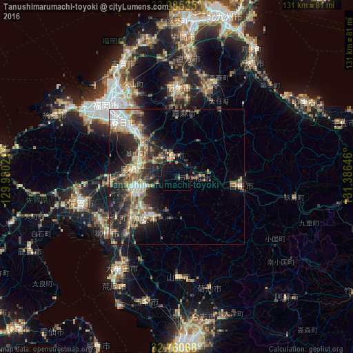
Analysis of Tanushimarumachi-toyoki night lights 2016
Square area 10x10 km:
 0%
0%90-99
0.17%80-89
0.17%70-79
0.7%60-69
1.4%50-59
0.7%40-49
0.35%30-39
0.7%20-29
1.75%10-19
10.49%0-9
83.57%Square area 50x50 km:
1.94%90-99
2.81%80-89
2.41%70-79
2.19%60-69
3.4%50-59
3.18%40-49
2.59%30-39
3.55%20-29
6.82%10-19
8.93%0-9
62.18%Clear (daylight) street map image can be seen on geolist.org.
Map coordinates:
33° 56' 7.3" North, 129° 58' 48.8" East
33° 21' 0" North, 130° 40' 60" East
32° 45' 38.4" North, 131° 23' 11.3" East
Some cities around Tanushimarumachi-toyoki sort by population:
• Kurume
15.9 km =9.9 mi,  256°
256°
• Chikushino-shi
22.5 km =14 mi,  316°
316°
• Ōnojō
28.1 km =17.5 mi, 317°
• Dazaifu
23.4 km =14.5 mi, 320°
• Tosu
15.6 km =9.7 mi,  276°
276°
• Hita
24.1 km =15 mi,  97°
97°
• Amagi
8 km =5 mi,  340°
340°
• Kanzakimachi-kanzaki
29.1 km =18.1 mi, 260°
1850627 (p: 21,156)
Sources (retrieved 2019-11-25):
» Earth at Night: Flat Maps 2012, 2016