Shimotoda night lights from space
Night Light of Shimotoda (Saitama) from space (Japan) Src. Average luminocity for 10x10km area is 99.3269% and for 50x50km: 85.5882%.
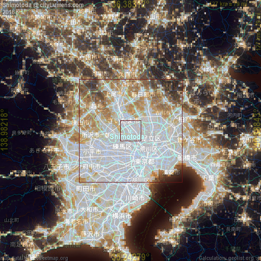
Analysis of Shimotoda night lights 2016
Square area 10x10 km:
 68.88%
90-99
30.42%80-89
0.7%70-79
0%60-69
0%50-59
0%40-49
0%30-39
0%20-29
0%10-19
0%0-9
0%Square area 50x50 km:
45.2%90-99
19.17%80-89
7.31%70-79
6.65%60-69
8.06%50-59
4.48%40-49
3.03%30-39
2.83%20-29
2.31%10-19
0.7%0-9
0.25%Clear (daylight) street map image can be seen on geolist.org.
Map coordinates:
36° 22' 59.2" North, 138° 58' 55.8" East
35° 48' 54" North, 139° 41' 7.1" East
35° 14' 34" North, 140° 23' 18.3" East
Some cities around Shimotoda sort by population:
• Saitama
10.7 km =6.6 mi,  345°
345°
• Yono
8.9 km =5.5 mi,  328°
328°
• Kawaguchi
2.5 km =1.6 mi,  115°
115°
• Sōka
10.6 km =6.6 mi,  76°
76°
• Asaka
7.6 km =4.7 mi,  261°
261°
• Wako
6.3 km =3.9 mi,  243°
243°
• Shiki
9.4 km =5.8 mi,  282°
282°
• Hatogaya-honchō
5.5 km =3.4 mi,  68°
68°
1907301 (p: 118,731)
Sources (retrieved 2019-11-25):
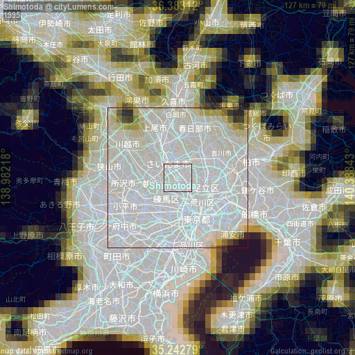
» NASA, Earths city lights 1995
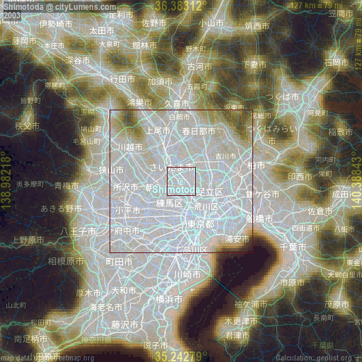
» NASA city lights 2003
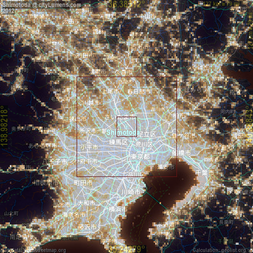
» Earth at Night: Flat Maps 2012, 2016