Shōbu night lights from space
Night Light of Shōbu (Saitama) from space (Japan) Src. Average luminocity for 10x10km area is 56.8498% and for 50x50km: 60.0227%.
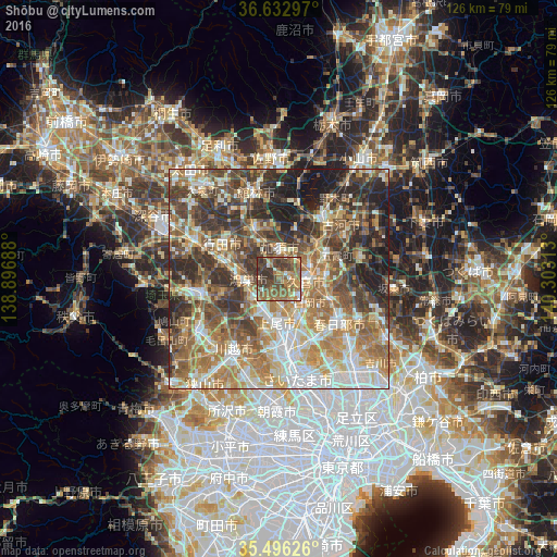
Analysis of Shōbu night lights 2016
Square area 10x10 km:
100  2.75%
2.75%
90-99 3.85%
80-89 6.04%
70-79 10.62%
60-69 18.13%
50-59 20.33%
40-49 19.23%
30-39 16.48%
20-29 2.56%
10-19 0%
0-9 0%
2.75%90-99
3.85%80-89
6.04%70-79
10.62%60-69
18.13%50-59
20.33%40-49
19.23%30-39
16.48%20-29
2.56%10-19
0%0-9
0%Square area 50x50 km:
100 8.73%
90-99 11.97%
80-89 7.68%
70-79 9.15%
60-69 13.38%
50-59 10.72%
40-49 10.93%
30-39 11.19%
20-29 9.97%
10-19 6.26%
0-9 0.03%
8.73%90-99
11.97%80-89
7.68%70-79
9.15%60-69
13.38%50-59
10.72%40-49
10.93%30-39
11.19%20-29
9.97%10-19
6.26%0-9
0.03%Clear (daylight) street map image can be seen on geolist.org.
Map coordinates:
36° 37' 58.7" North, 138° 53' 48.8" East
36° 4' 0" North, 139° 36' 0" East
35° 29' 46.5" North, 140° 18' 11.3" East
Some cities around Shōbu sort by population:
• Ageoshimo
10.7 km =6.6 mi,  173°
173°
• Kōnosu
7.5 km =4.7 mi,  271°
271°
• Okegawa
8.4 km =5.2 mi,  207°
207°
• Kukichūō
6.7 km =4.2 mi,  89°
89°
• Kazo
5.6 km =3.5 mi,  0°
0°
• Satte
11.4 km =7.1 mi, 86°
• Shiraoka
7.6 km =4.7 mi,  134°
134°
• Kisai
4 km =2.5 mi,  337°
337°
1851711 (p: 22,156)
Sources (retrieved 2019-11-25):
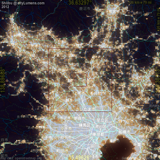
» Earth at Night: Flat Maps 2012, 2016