Shiraoka night lights from space
Night Light of Shiraoka (Saitama) from space (Japan) Src. Average luminocity for 10x10km area is 74.707% and for 50x50km: 64.2718%.
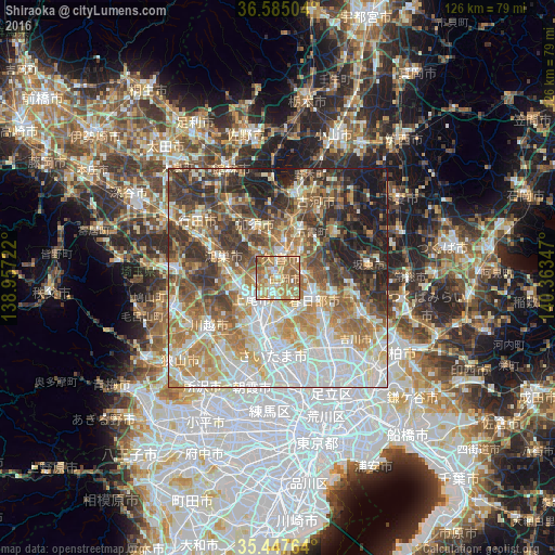
Analysis of Shiraoka night lights 2016
Square area 10x10 km:
 8.06%
8.06%90-99
14.29%80-89
10.07%70-79
21.61%60-69
34.98%50-59
10.26%40-49
0.55%30-39
0.18%20-29
0%10-19
0%0-9
0%Square area 50x50 km:
13.9%90-99
14.37%80-89
8.05%70-79
8.96%60-69
12.52%50-59
8.88%40-49
8.69%30-39
9.5%20-29
8.45%10-19
6.63%0-9
0.05%Clear (daylight) street map image can be seen on geolist.org.
Map coordinates:
36° 35' 6.1" North, 138° 57' 26" East
36° 1' 6.2" North, 139° 39' 37.2" East
35° 26' 51.5" North, 140° 21' 48.5" East
Some cities around Shiraoka sort by population:
• Ageoshimo
6.7 km =4.2 mi,  218°
218°
• Kasukabe
8.9 km =5.5 mi,  116°
116°
• Iwatsuki
6.8 km =4.2 mi,  151°
151°
• Kukichūō
5.6 km =3.5 mi,  13°
13°
• Hasuda
5.4 km =3.4 mi,  190°
190°
• Satte
8.4 km =5.2 mi,  44°
44°
• Sugito
6.1 km =3.8 mi,  76°
76°
• Shōbu
7.6 km =4.7 mi,  314°
314°
1851883 (p: 50,974)
Sources (retrieved 2019-11-25):
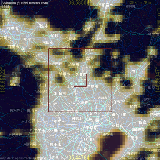
» NASA, Earths city lights 1995
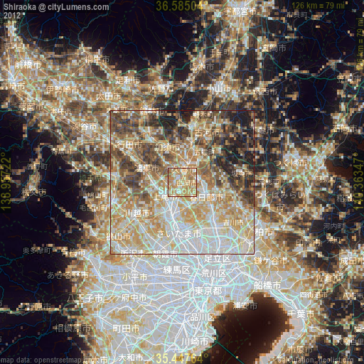
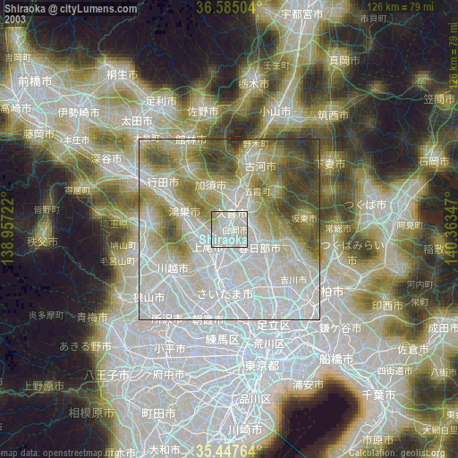
» NASA city lights 2003
» Earth at Night: Flat Maps 2012, 2016