Shido night lights from space
Night Light of Shido (Kagawa) from space (Japan) Src. Average luminocity for 10x10km area is 14.7418% and for 50x50km: 7.1496%.
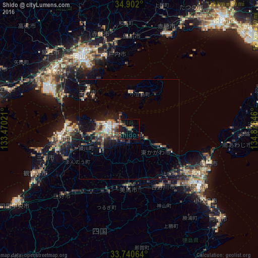
Analysis of Shido night lights 2016
Square area 10x10 km:
 0%
0%90-99
0%80-89
0.73%70-79
2.56%60-69
3.3%50-59
4.4%40-49
1.1%30-39
3.66%20-29
6.78%10-19
17.95%0-9
59.52%Square area 50x50 km:
0.49%90-99
0.85%80-89
0.76%70-79
0.62%60-69
0.93%50-59
1.61%40-49
1.59%30-39
1.41%20-29
2.22%10-19
4.9%0-9
84.62%Clear (daylight) street map image can be seen on geolist.org.
Map coordinates:
34° 54' 7.2" North, 133° 28' 12.8" East
34° 19' 24" North, 134° 10' 24" East
33° 44' 26.3" North, 134° 52' 35.3" East
Some cities around Shido sort by population:
• Takamatsu
11.4 km =7.1 mi,  275°
275°
• Marugame
36.1 km =22.4 mi,  262°
262°
• Tamano
30 km =18.6 mi,  315°
315°
• Sakaidechō
31 km =19.3 mi,  269°
269°
• Ishii
37.7 km =23.4 mi,  139°
139°
• Kamojimachō-jōgejima
32.7 km =20.3 mi,  150°
150°
• Wakimachi
28.6 km =17.8 mi,  184°
184°
• Tonoshō
17.5 km =10.9 mi,  359°
359°
1852561 (p: 22,859)
Sources (retrieved 2019-11-25):
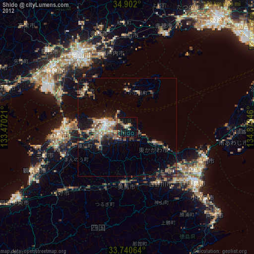
» Earth at Night: Flat Maps 2012, 2016