Kamojimachō-jōgejima night lights from space
Night Light of Kamojimachō-jōgejima (Tokushima) from space (Japan) Src. Average luminocity for 10x10km area is 9.6871% and for 50x50km: 8.1972%.
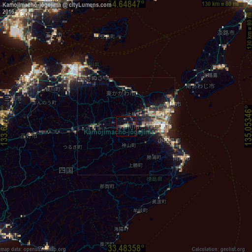
Analysis of Kamojimachō-jōgejima night lights 2016
Square area 10x10 km:
 0%
0%90-99
0%80-89
0.52%70-79
0.17%60-69
2.27%50-59
3.32%40-49
1.92%30-39
4.55%20-29
5.07%10-19
1.75%0-9
80.42%Square area 50x50 km:
0.39%90-99
0.63%80-89
1.37%70-79
0.98%60-69
1.1%50-59
1.73%40-49
2.02%30-39
1.93%20-29
3.41%10-19
4.59%0-9
81.84%Clear (daylight) street map image can be seen on geolist.org.
Map coordinates:
34° 38' 54.5" North, 133° 38' 50" East
34° 4' 4.9" North, 134° 21' 1.2" East
33° 29' 0.9" North, 135° 3' 12.5" East
Some cities around Kamojimachō-jōgejima sort by population:
• Tokushima
19.9 km =12.4 mi,  90°
90°
• Narutochō-mitsuishi
28 km =17.4 mi,  58°
58°
• Anan
32.3 km =20.1 mi,  121°
121°
• Komatsushimachō
22.8 km =14.2 mi,  109°
109°
• Ishii
8.5 km =5.3 mi, 90°
• Shido
32.7 km =20.3 mi,  330°
330°
• Fukura
39.7 km =24.7 mi, 57°
• Wakimachi
18.5 km =11.5 mi,  269°
269°
1860321 (p: 24,374)
Sources (retrieved 2019-11-25):
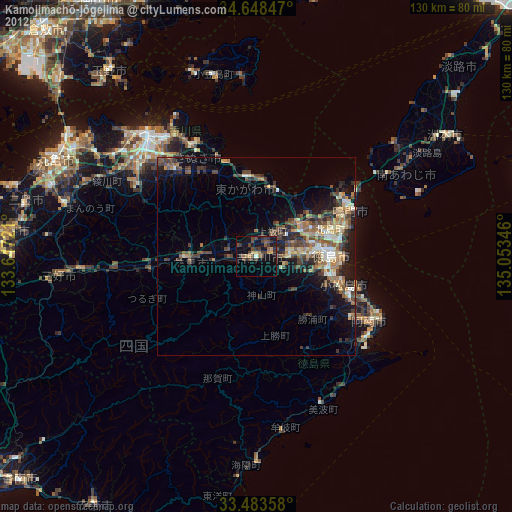
» Earth at Night: Flat Maps 2012, 2016