Fuchūchō night lights from space
Night Light of Fuchūchō (Hiroshima) from space (Japan) Src. Average luminocity for 10x10km area is 7.736% and for 50x50km: 8.4023%.
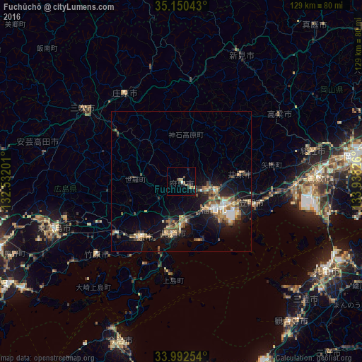
Analysis of Fuchūchō night lights 2016
Square area 10x10 km:
 0%
0%90-99
0.7%80-89
1.57%70-79
0.35%60-69
2.1%50-59
0.52%40-49
2.8%30-39
0.7%20-29
2.1%10-19
0.52%0-9
88.64%Square area 50x50 km:
0.64%90-99
0.97%80-89
0.97%70-79
1.02%60-69
1.49%50-59
1.61%40-49
1.54%30-39
1.1%20-29
2.23%10-19
6.25%0-9
82.19%Clear (daylight) street map image can be seen on geolist.org.
Map coordinates:
35° 9' 1.5" North, 132° 31' 55.2" East
34° 34' 24.6" North, 133° 14' 6.5" East
33° 59' 33.1" North, 133° 56' 17.7" East
Some cities around Fuchūchō sort by population:
• Fukuyama
15.7 km =9.8 mi,  129°
129°
• Onomichi
17.7 km =11 mi,  190°
190°
• Mihara
23.8 km =14.8 mi,  215°
215°
• Kasaoka
25.7 km =16 mi,  106°
106°
• Kannabechō-yahiro
16.8 km =10.4 mi,  95°
95°
• Ibara
21.4 km =13.3 mi,  82°
82°
• Innoshima
32.6 km =20.3 mi, 188°
• Shin’ichi
4 km =2.5 mi,  120°
120°
1864155 (p: 50,746)
Sources (retrieved 2019-11-25):
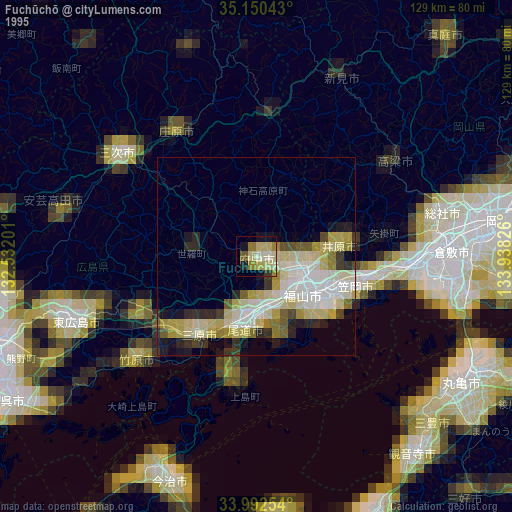
» NASA, Earths city lights 1995
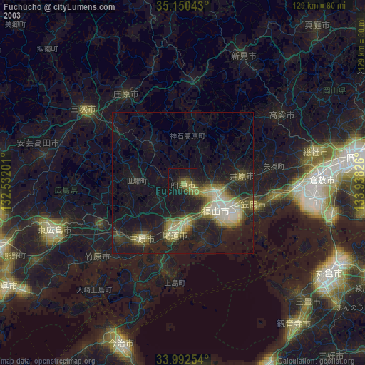
» NASA city lights 2003
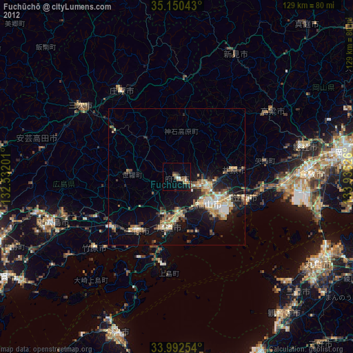
» Earth at Night: Flat Maps 2012, 2016