Kannabechō-yahiro night lights from space
Night Light of Kannabechō-yahiro (Hiroshima) from space (Japan) Src. Average luminocity for 10x10km area is 22.0087% and for 50x50km: 9.1727%.
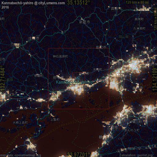
Analysis of Kannabechō-yahiro night lights 2016
Square area 10x10 km:
 0.52%
0.52%90-99
0.87%80-89
2.62%70-79
2.27%60-69
4.72%50-59
4.2%40-49
4.72%30-39
3.15%20-29
13.11%10-19
23.08%0-9
40.73%Square area 50x50 km:
0.66%90-99
0.98%80-89
0.93%70-79
1.11%60-69
1.61%50-59
1.89%40-49
1.82%30-39
1.28%20-29
2.57%10-19
7.54%0-9
79.6%Clear (daylight) street map image can be seen on geolist.org.
Map coordinates:
35° 8' 6.4" North, 132° 42' 53.4" East
34° 33' 29.1" North, 133° 25' 4.7" East
33° 58' 37.2" North, 134° 7' 15.9" East
Some cities around Kannabechō-yahiro sort by population:
• Fukuyama
9.5 km =5.9 mi,  209°
209°
• Onomichi
25.4 km =15.8 mi,  231°
231°
• Kasaoka
9.8 km =6.1 mi,  126°
126°
• Fuchūchō
16.8 km =10.4 mi,  275°
275°
• Ibara
6.5 km =4 mi,  43°
43°
• Takahashi
30.9 km =19.2 mi, 35°
• Shin’ichi
13.3 km =8.3 mi,  268°
268°
• Kamogatachō-kamogata
15.9 km =9.9 mi,  98°
98°
1860176 (p: 40,766)
Sources (retrieved 2019-11-25):
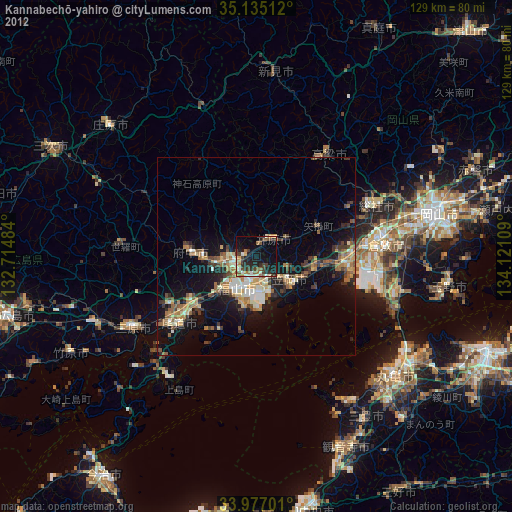
» Earth at Night: Flat Maps 2012, 2016