Naze night lights from space
Night Light of Naze (Kagoshima) from space (Japan) Src. Average luminocity for 10x10km area is 4.246% and for 50x50km: 0.2302%.
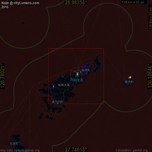
Analysis of Naze night lights 2016
Square area 10x10 km:
 0%
0%90-99
0%80-89
0%70-79
0.4%60-69
1.19%50-59
1.39%40-49
1.98%30-39
2.18%20-29
1.39%10-19
0.2%0-9
91.27%Square area 50x50 km:
0%90-99
0%80-89
0%70-79
0.02%60-69
0.09%50-59
0.08%40-49
0.08%30-39
0.08%20-29
0.08%10-19
0.04%0-9
99.53%Clear (daylight) street map image can be seen on geolist.org.
Map coordinates:
28° 59' 0.8" North, 128° 46' 48.8" East
28° 22' 0" North, 129° 28' 60" East
27° 44' 46.2" North, 130° 11' 11.3" East
Some cities around Naze sort by population:
• Okinawa
280.3 km =174.2 mi,  216°
216°
• Ginowan
289.2 km =179.7 mi, 216°
• Gushikawa
274.4 km =170.5 mi, 215°
• Nago
244.5 km =151.9 mi, 217°
• Katsuren-haebaru
276.4 km =171.7 mi, 215°
• Chatan
284.5 km =176.8 mi, 216°
• Ishikawa
271.3 km =168.6 mi, 217°
• Miyanoura
252.2 km =156.7 mi,  24°
24°
1855540 (p: 41,365)
Sources (retrieved 2019-11-25):
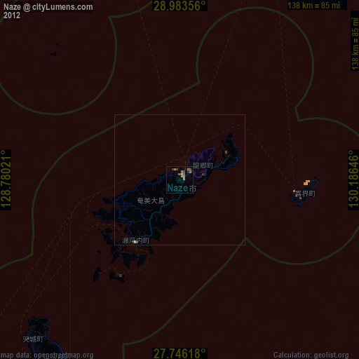
» Earth at Night: Flat Maps 2012, 2016