Ishikawa night lights from space
Night Light of Ishikawa (Okinawa) from space (Japan) Src. Average luminocity for 10x10km area is 53.8712% and for 50x50km: 17.9898%.
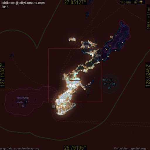
Analysis of Ishikawa night lights 2016
Square area 10x10 km:
 10.8%
10.8%90-99
8.71%80-89
2.84%70-79
5.11%60-69
13.45%50-59
9.47%40-49
11.36%30-39
12.5%20-29
14.77%10-19
10.8%0-9
0.19%Square area 50x50 km:
3.6%90-99
3.55%80-89
1.21%70-79
2.21%60-69
2.85%50-59
2.48%40-49
1.59%30-39
2.69%20-29
4.35%10-19
11.51%0-9
63.95%Clear (daylight) street map image can be seen on geolist.org.
Map coordinates:
27° 3' 4.6" North, 127° 7' 5.8" East
26° 25' 24" North, 127° 49' 17" East
25° 47' 31" North, 128° 31' 28.3" East
Some cities around Ishikawa sort by population:
• Naha
26.8 km =16.7 mi,  210°
210°
• Okinawa
9.9 km =6.2 mi,  191°
191°
• Ginowan
18.8 km =11.7 mi,  198°
198°
• Gushikawa
8.5 km =5.3 mi,  147°
147°
• Nago
26.8 km =16.7 mi,  37°
37°
• Tomigusuku
29.8 km =18.5 mi, 207°
• Katsuren-haebaru
11.3 km =7 mi, 152°
• Chatan
13.6 km =8.5 mi, 201°
1861393 (p: 22,412)
Sources (retrieved 2019-11-25):
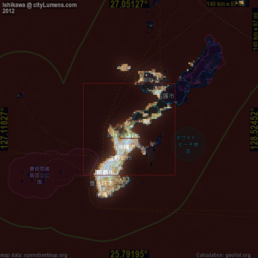
» Earth at Night: Flat Maps 2012, 2016