Komatsushimachō night lights from space
Night Light of Komatsushimachō (Tokushima) from space (Japan) Src. Average luminocity for 10x10km area is 27.9178% and for 50x50km: 8.6485%.
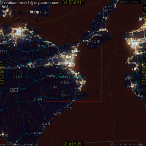
Analysis of Komatsushimachō night lights 2016
Square area 10x10 km:
 0.35%
0.35%90-99
1.4%80-89
6.99%70-79
3.32%60-69
1.92%50-59
4.2%40-49
8.04%30-39
6.29%20-29
11.71%10-19
33.74%0-9
22.03%Square area 50x50 km:
0.43%90-99
0.65%80-89
1.45%70-79
1.06%60-69
1.25%50-59
1.81%40-49
1.98%30-39
1.73%20-29
3.18%10-19
6.06%0-9
80.4%Clear (daylight) street map image can be seen on geolist.org.
Map coordinates:
34° 34' 51.3" North, 133° 52' 48.8" East
34° 0' 0" North, 134° 34' 60" East
33° 24' 54.3" North, 135° 17' 11.3" East
Some cities around Komatsushimachō sort by population:
• Tokushima
7.6 km =4.7 mi,  348°
348°
• Narutochō-mitsuishi
22.3 km =13.9 mi,  6°
6°
• Anan
11.1 km =6.9 mi,  146°
146°
• Sumoto
47.4 km =29.5 mi,  36°
36°
• Ishii
15 km =9.3 mi,  299°
299°
• Kamojimachō-jōgejima
22.8 km =14.2 mi,  289°
289°
• Fukura
31.1 km =19.3 mi,  22°
22°
• Wakimachi
40.6 km =25.2 mi,  280°
280°
1858902 (p: 42,598)
Sources (retrieved 2019-11-25):
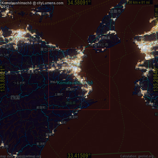
» Earth at Night: Flat Maps 2012, 2016