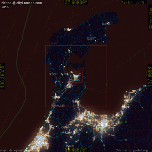
Nanao night lights from space
Night Light of Nanao (Ishikawa) from space (Japan) Src. Average luminocity for 10x10km area is 19.1259% and for 50x50km: 2.6767%.

Analysis of Nanao night lights 2016
Square area 10x10 km:
 0%
0%90-99
2.04%80-89
2.04%70-79
3.4%60-69
3.06%50-59
3.74%40-49
2.72%30-39
3.57%20-29
7.31%10-19
14.97%0-9
57.14%Square area 50x50 km:
0%90-99
0.19%80-89
0.26%70-79
0.43%60-69
0.4%50-59
0.43%40-49
0.7%30-39
0.54%20-29
1%10-19
0.99%0-9
95.08%Clear (daylight) street map image can be seen on geolist.org.
Map coordinates:
37° 36' 32.7" North, 136° 15' 48.8" East
37° 3' 0" North, 136° 58' 0" East
36° 29' 12.3" North, 137° 40' 11.3" East
Some cities around Nanao sort by population:
• Toyama
44.8 km =27.8 mi,  150°
150°
• Takaoka
33.7 km =20.9 mi,  172°
172°
• Himimachi
21.6 km =13.4 mi, 174°
• Uozu
47.5 km =29.5 mi,  125°
125°
• Kurobe-shi
46 km =28.6 mi,  111°
111°
• Tsubata
46.8 km =29.1 mi,  205°
205°
• Nishishinminato
31.6 km =19.6 mi,  162°
162°
• Hakui
24.7 km =15.3 mi,  221°
221°
1855670 (p: 45,309)
Sources (retrieved 2019-11-25):
» Earth at Night: Flat Maps 2012, 2016