Nakatsu night lights from space
Night Light of Nakatsu (Oita) from space (Japan) Src. Average luminocity for 10x10km area is 34.1667% and for 50x50km: 5.8329%.
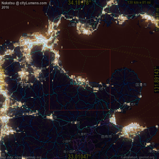
Analysis of Nakatsu night lights 2016
Square area 10x10 km:
 0.92%
0.92%90-99
1.65%80-89
5.49%70-79
4.58%60-69
8.42%50-59
11.36%40-49
4.58%30-39
6.23%20-29
8.61%10-19
38.1%0-9
10.07%Square area 50x50 km:
0.16%90-99
0.47%80-89
0.86%70-79
0.65%60-69
1.16%50-59
1.34%40-49
0.8%30-39
1.15%20-29
1.85%10-19
4.62%0-9
86.94%Clear (daylight) street map image can be seen on geolist.org.
Map coordinates:
34° 10' 54.4" North, 130° 29' 6.6" East
33° 35' 53.2" North, 131° 11' 17.9" East
33° 0' 37.7" North, 131° 53' 29.1" East
Some cities around Nakatsu sort by population:
• Yukuhashi
23.9 km =14.9 mi,  307°
307°
• Kanda
28 km =17.4 mi,  317°
317°
• Buzen
5.6 km =3.5 mi,  285°
285°
• Bungo-Takada-shi
24.2 km =15 mi,  100°
100°
• Kawasaki
34.6 km =21.5 mi,  270°
270°
• Shiida
13.5 km =8.4 mi,  297°
297°
• Tsuiki
16.2 km =10.1 mi, 300°
• Yoshitomi
1.2 km =0.7 mi, 293°
1855757 (p: 67,372)
Sources (retrieved 2019-11-25):
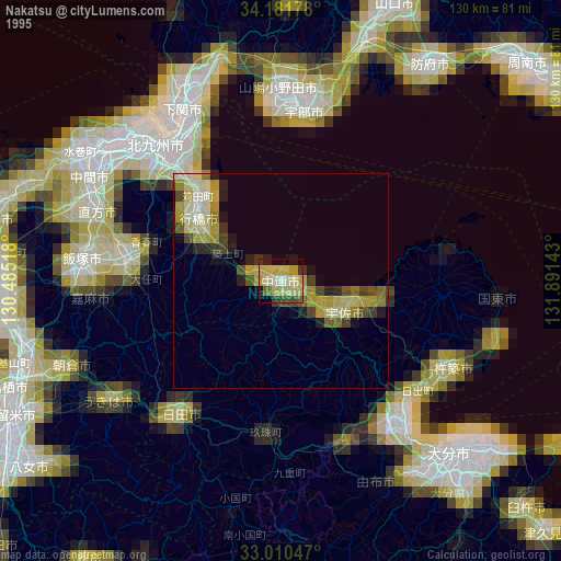
» NASA, Earths city lights 1995
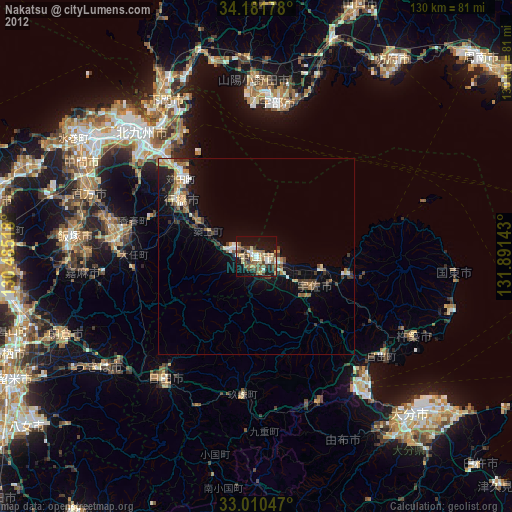
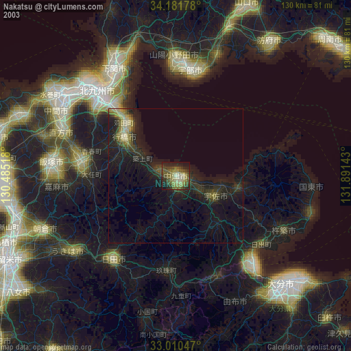
» NASA city lights 2003
» Earth at Night: Flat Maps 2012, 2016