Arai night lights from space
Night Light of Arai (Niigata) from space (Japan) Src. Average luminocity for 10x10km area is 8.4513% and for 50x50km: 3.1285%.
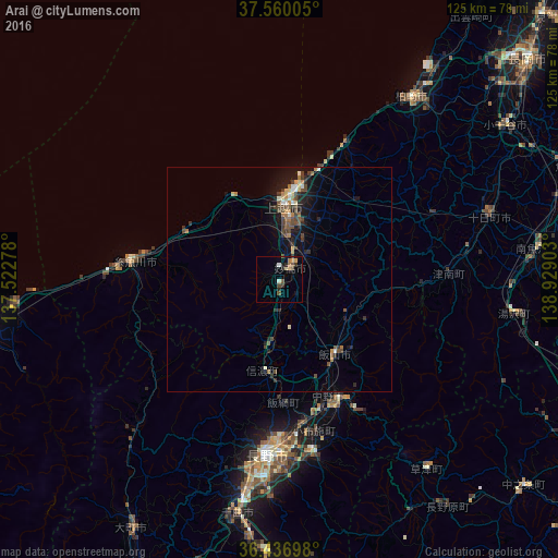
Analysis of Arai night lights 2016
Square area 10x10 km:
 0%
0%90-99
1.3%80-89
0.65%70-79
1.3%60-69
1.95%50-59
1.62%40-49
1.79%30-39
0.81%20-29
2.92%10-19
1.3%0-9
86.36%Square area 50x50 km:
0.11%90-99
0.38%80-89
0.29%70-79
0.27%60-69
0.59%50-59
0.42%40-49
0.97%30-39
0.61%20-29
0.79%10-19
2.36%0-9
93.22%Clear (daylight) street map image can be seen on geolist.org.
Map coordinates:
37° 33' 36.2" North, 137° 31' 22" East
37° 0' 2.1" North, 138° 13' 33.2" East
36° 26' 13.1" North, 138° 55' 44.5" East
Some cities around Arai sort by population:
• Nagano
39.2 km =24.4 mi,  185°
185°
• Jōetsu
16.4 km =10.2 mi,  3°
3°
• Kashiwazaki
49.8 km =30.9 mi,  35°
35°
• Suzaka
39.8 km =24.7 mi,  168°
168°
• Nakano
30.5 km =19 mi,  155°
155°
• Itoigawa
33.6 km =20.9 mi,  276°
276°
• Iiyama
20.9 km =13 mi,  143°
143°
• Hakuba
46.7 km =29 mi,  223°
223°
1865207 (p: 27,481)
Sources (retrieved 2019-11-25):
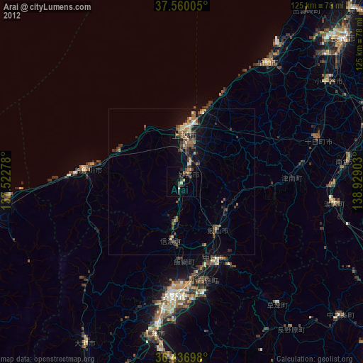
» Earth at Night: Flat Maps 2012, 2016