Kamakura night lights from space
Night Light of Kamakura (Kanagawa) from space (Japan) Src. Average luminocity for 10x10km area is 60.8846% and for 50x50km: 41.2282%.
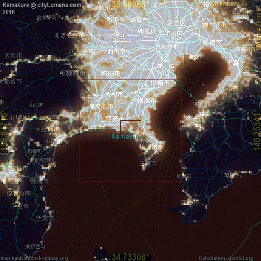
Analysis of Kamakura night lights 2016
Square area 10x10 km:
 7.69%
7.69%90-99
11.9%80-89
13%70-79
10.81%60-69
17.22%50-59
7.51%40-49
2.75%30-39
4.95%20-29
13.55%10-19
9.89%0-9
0.73%Square area 50x50 km:
14.06%90-99
12.71%80-89
5.12%70-79
3.6%60-69
3.38%50-59
2.02%40-49
2.02%30-39
2.82%20-29
4.93%10-19
6.96%0-9
42.37%Clear (daylight) street map image can be seen on geolist.org.
Map coordinates:
35° 52' 50.3" North, 138° 50' 49.8" East
35° 18' 32" North, 139° 33' 1" East
34° 43' 59.1" North, 140° 15' 12.3" East
Some cities around Kamakura sort by population:
• Yokohama
16.5 km =10.3 mi,  33°
33°
• Yokosuka
11 km =6.8 mi,  104°
104°
• Fujisawa
8 km =5 mi,  303°
303°
• Hiratsuka
19.4 km =12.1 mi,  276°
276°
• Chigasaki
13.6 km =8.5 mi, 282°
• Zushi
3 km =1.9 mi,  121°
121°
• Miura
19.8 km =12.3 mi,  161°
161°
• Hayama
4.4 km =2.7 mi,  145°
145°
1860672 (p: 166,016)
Sources (retrieved 2019-11-25):
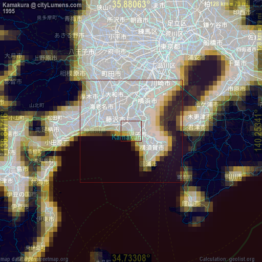
» NASA, Earths city lights 1995
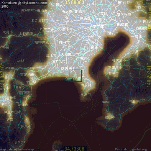
» NASA city lights 2003
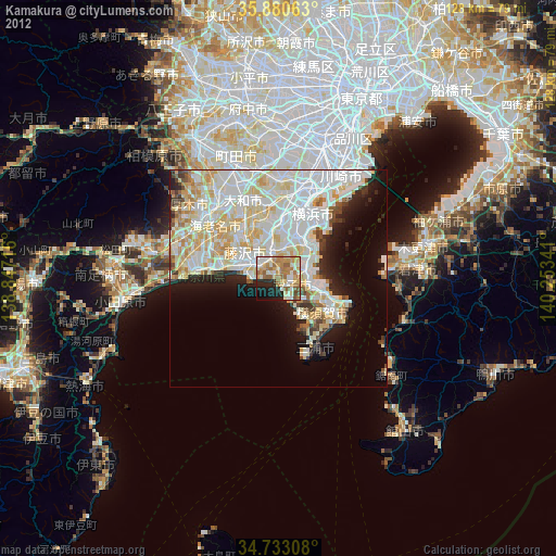
» Earth at Night: Flat Maps 2012, 2016