Innoshima night lights from space
Night Light of Innoshima (Hiroshima) from space (Japan) Src. Average luminocity for 10x10km area is 4.5879% and for 50x50km: 6.8196%.
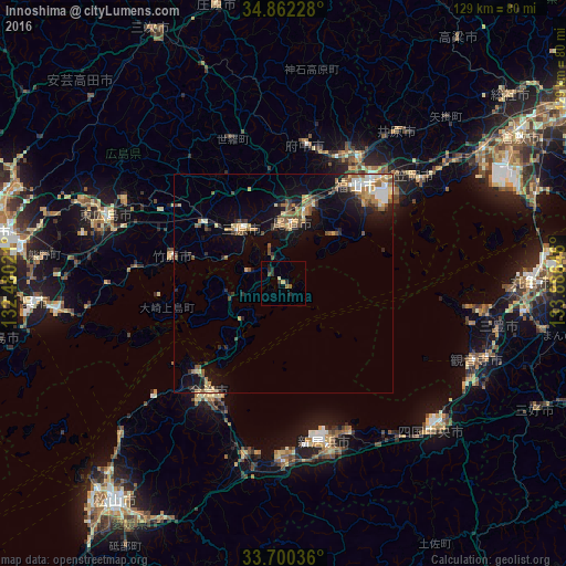
Analysis of Innoshima night lights 2016
Square area 10x10 km:
 0%
0%90-99
0.37%80-89
0.92%70-79
0.18%60-69
0.73%50-59
0.73%40-49
0.73%30-39
0.92%20-29
3.85%10-19
1.1%0-9
90.48%Square area 50x50 km:
0.57%90-99
0.9%80-89
0.77%70-79
0.99%60-69
1.14%50-59
1.22%40-49
1.03%30-39
0.86%20-29
1.49%10-19
4.28%0-9
86.75%Clear (daylight) street map image can be seen on geolist.org.
Map coordinates:
34° 51' 44.2" North, 132° 28' 48.8" East
34° 16' 60" North, 133° 10' 60" East
33° 42' 1.3" North, 133° 53' 11.3" East
Some cities around Innoshima sort by population:
• Fukuyama
27.9 km =17.3 mi,  37°
37°
• Niihama
37.6 km =23.4 mi,  162°
162°
• Onomichi
14.9 km =9.3 mi,  5°
5°
• Mihara
15.9 km =9.9 mi,  324°
324°
• Fuchūchō
32.6 km =20.3 mi, 8°
• Kannabechō-yahiro
37.4 km =23.2 mi, 35°
• Takehara
25.2 km =15.7 mi,  284°
284°
• Shin’ichi
31.4 km =19.5 mi,  15°
15°
1861586 (p: 26,141)
Sources (retrieved 2019-11-25):
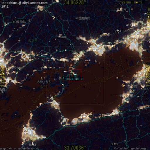
» Earth at Night: Flat Maps 2012, 2016