Miyakonojō night lights from space
Night Light of Miyakonojō (Miyazaki) from space (Japan) Src. Average luminocity for 10x10km area is 31.9725% and for 50x50km: 2.3961%.
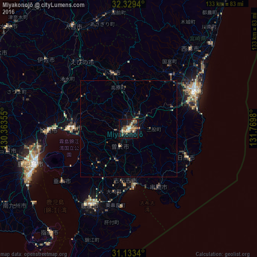
Analysis of Miyakonojō night lights 2016
Square area 10x10 km:
 2.01%
2.01%90-99
3.85%80-89
3.3%70-79
4.95%60-69
7.14%50-59
9.52%40-49
1.65%30-39
6.41%20-29
4.03%10-19
33.7%0-9
23.44%Square area 50x50 km:
0.08%90-99
0.2%80-89
0.25%70-79
0.32%60-69
0.48%50-59
0.61%40-49
0.29%30-39
0.36%20-29
0.47%10-19
1.8%0-9
95.13%Clear (daylight) street map image can be seen on geolist.org.
Map coordinates:
32° 19' 45.8" North, 130° 21' 48.8" East
31° 43' 60" North, 131° 4' 0" East
31° 8' 0.2" North, 131° 46' 11.3" East
Some cities around Miyakonojō sort by population:
• Kokubu-matsuki
28.4 km =17.6 mi,  270°
270°
• Nichinan
32 km =19.9 mi,  117°
117°
• Kobayashi
28.9 km =18 mi,  344°
344°
• Hamanoichi
31.6 km =19.6 mi, 266°
• Kajiki
37.8 km =23.5 mi, 270°
• Kushima
32.1 km =19.9 mi,  148°
148°
• Sueyoshichō-ninokata
10.4 km =6.5 mi,  207°
207°
• Shibushi
28.8 km =17.9 mi,  173°
173°
1856775 (p: 130,994)
Sources (retrieved 2019-11-25):
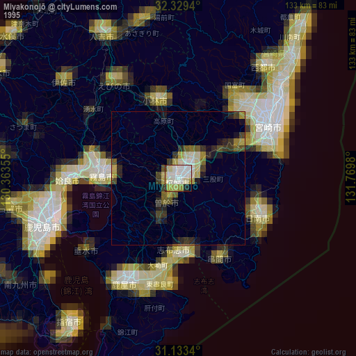
» NASA, Earths city lights 1995
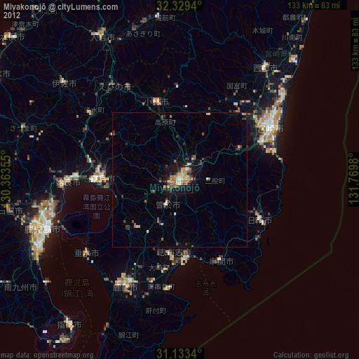
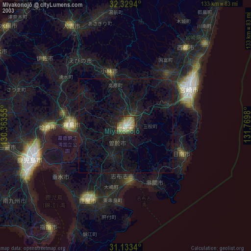
» NASA city lights 2003
» Earth at Night: Flat Maps 2012, 2016