Fukagawa night lights from space
Night Light of Fukagawa (Hokkaido) from space (Japan) Src. Average luminocity for 10x10km area is 5.8682% and for 50x50km: 3.0283%.
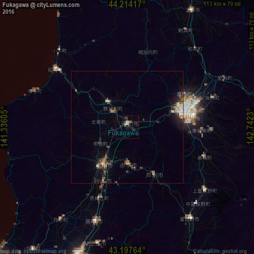
Analysis of Fukagawa night lights 2016
Square area 10x10 km:
 0%
0%90-99
0.76%80-89
0.45%70-79
0.61%60-69
0.61%50-59
1.21%40-49
0%30-39
2.73%20-29
4.09%10-19
2.42%0-9
87.12%Square area 50x50 km:
0.23%90-99
0.25%80-89
0.23%70-79
0.16%60-69
0.48%50-59
0.75%40-49
0.56%30-39
0.94%20-29
1.07%10-19
1.83%0-9
93.5%Clear (daylight) street map image can be seen on geolist.org.
Map coordinates:
44° 12' 51" North, 141° 20' 9.8" East
43° 42' 29" North, 142° 2' 21" East
43° 11' 51.5" North, 142° 44' 32.3" East
Some cities around Fukagawa sort by population:
• Asahikawa
27.1 km =16.8 mi,  75°
75°
• Takikawa
20.3 km =12.6 mi,  211°
211°
• Bibai
45 km =28 mi,  198°
198°
• Rumoi
40.6 km =25.2 mi,  308°
308°
• Sunagawa
26.9 km =16.7 mi, 203°
• Ashibetsu
25 km =15.5 mi,  151°
151°
• Akabira
17.5 km =10.9 mi,  176°
176°
• Utashinai
21.3 km =13.2 mi, 177°
2130332 (p: 26,152)
Sources (retrieved 2019-11-25):
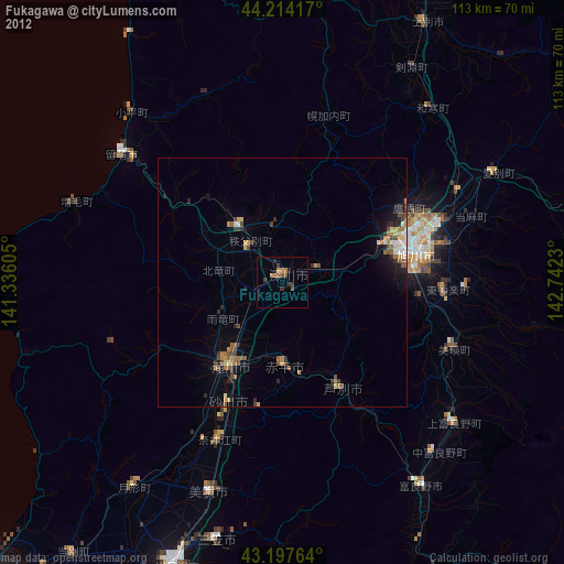
» Earth at Night: Flat Maps 2012, 2016