Qīr Moāv night lights from space
Night Light of Qīr Moāv (Ma’an) from space (Jordan) Src. Average luminocity for 10x10km area is 53.2802% and for 50x50km: 9.3009%.
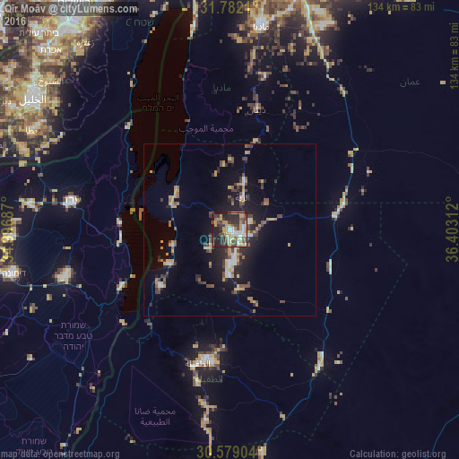
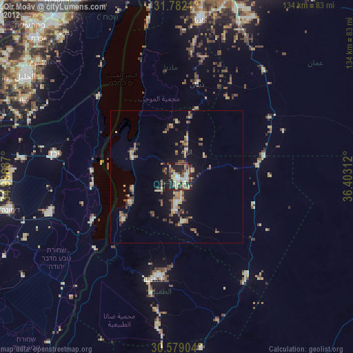
Analysis of Qīr Moāv night lights 2016
Square area 10x10 km:
 6.78%
6.78%90-99
8.24%80-89
8.61%70-79
13.55%60-69
4.76%50-59
5.49%40-49
12.45%30-39
9.71%20-29
18.86%10-19
11.54%0-9
0%Square area 50x50 km:
0.76%90-99
0.92%80-89
0.93%70-79
1.87%60-69
0.98%50-59
1.09%40-49
2.07%30-39
1.61%20-29
2.9%10-19
6.33%0-9
80.54%Clear (daylight) street map image can be seen on geolist.org.
Map coordinates:
31° 46' 55.6" North, 34° 59' 48.7" East
31° 10' 56.9" North, 35° 41' 60" East
30° 34' 44.5" North, 36° 24' 11.2" East
Some cities around Qīr Moāv sort by population:
• Aţ Ţafīlah
39.4 km =24.5 mi,  193°
193°
• Arad, IL
47.1 km =29.3 mi,  280°
280°
• ‘Izrā
2.7 km =1.7 mi, 194°
• Karak City
6.3 km =3.9 mi,  109°
109°
• Safi
27.6 km =17.1 mi,  233°
233°
• Al Mazār al Janūbī
12.8 km =8 mi,  182°
182°
• ‘Ayy
7.6 km =4.7 mi,  224°
224°
• Al Khinzīrah
17.2 km =10.7 mi,  211°
211°
250624 (p: 22,581)
Sources (retrieved 2019-11-25):
» Earth at Night: Flat Maps 2012, 2016