Port Antonio night lights from space
Night Light of Port Antonio (Portland) from space (Jamaica) Src. Average luminocity for 10x10km area is 4.3896% and for 50x50km: 0.6066%.
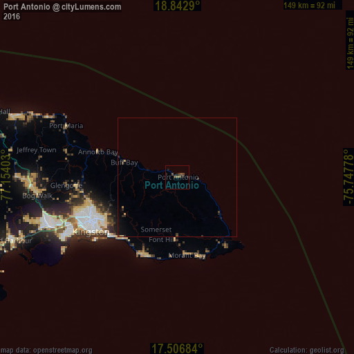
Analysis of Port Antonio night lights 2016
Square area 10x10 km:
 0%
0%90-99
0%80-89
0%70-79
0%60-69
0.87%50-59
1.52%40-49
2.81%30-39
0.87%20-29
3.46%10-19
1.73%0-9
88.74%Square area 50x50 km:
0%90-99
0.01%80-89
0.08%70-79
0.04%60-69
0.06%50-59
0.08%40-49
0.2%30-39
0.19%20-29
0.27%10-19
0.49%0-9
98.58%Clear (daylight) street map image can be seen on geolist.org.
Map coordinates:
18° 50' 34.4" North, 77° 9' 14.5" West
18° 10' 34.1" North, 76° 27' 3.2" West
17° 30' 24.6" North, 75° 44' 52" West
Some cities around Port Antonio sort by population:
• Kingston
41.3 km =25.7 mi,  241°
241°
• New Kingston
39.8 km =24.7 mi, 241°
• Half Way Tree
41.1 km =25.5 mi, 243°
• Constant Spring
38.8 km =24.1 mi,  248°
248°
• Morant Bay
33.1 km =20.6 mi,  172°
172°
• Stony Hill
36.9 km =22.9 mi, 253°
• Yallahs
35.5 km =22.1 mi,  199°
199°
• Annotto Bay
34.9 km =21.7 mi,  287°
287°
3489005 (p: 14,400)
Sources (retrieved 2019-11-25):
» Earth at Night: Flat Maps 2012, 2016