Half Way Tree night lights from space
Night Light of Half Way Tree (St. Andrew) from space (Jamaica) Src. Average luminocity for 10x10km area is 95.6147% and for 50x50km: 18.1946%.
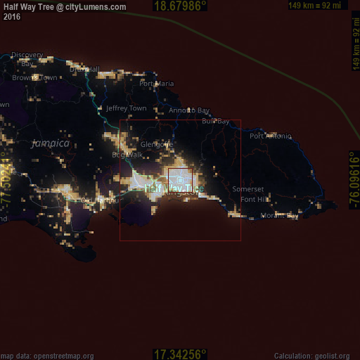
Analysis of Half Way Tree night lights 2016
Square area 10x10 km:
 57.79%
90-99
27.49%80-89
7.14%70-79
3.25%60-69
2.38%50-59
1.08%40-49
0.65%30-39
0.22%20-29
0%10-19
0%0-9
0%Square area 50x50 km:
3.63%90-99
2.83%80-89
3.75%70-79
1.71%60-69
1.62%50-59
1.58%40-49
2.29%30-39
2.61%20-29
5.41%10-19
9.74%0-9
64.82%Clear (daylight) street map image can be seen on geolist.org.
Map coordinates:
18° 40' 47.5" North, 77° 30' 8.7" West
18° 0' 44.9" North, 76° 47' 57.4" West
17° 20' 33.2" North, 76° 5' 46.2" West
Some cities around Half Way Tree sort by population:
• Kingston
1.8 km =1.1 mi,  160°
160°
• New Kingston
1.8 km =1.1 mi,  108°
108°
• Spanish Town
16.9 km =10.5 mi,  261°
261°
• Portmore
11.2 km =7 mi,  231°
231°
• Linstead
28.2 km =17.5 mi,  299°
299°
• Bog Walk
24 km =14.9 mi,  294°
294°
• Constant Spring
4.3 km =2.7 mi,  7°
7°
• Stony Hill
7.6 km =4.7 mi, 11°
3490165 (p: 18,552)
Sources (retrieved 2019-11-25):
» Earth at Night: Flat Maps 2012, 2016