Zagarolo night lights from space
Night Light of Zagarolo (Latium) from space (Italy) Src. Average luminocity for 10x10km area is 57.4349% and for 50x50km: 42.0143%.
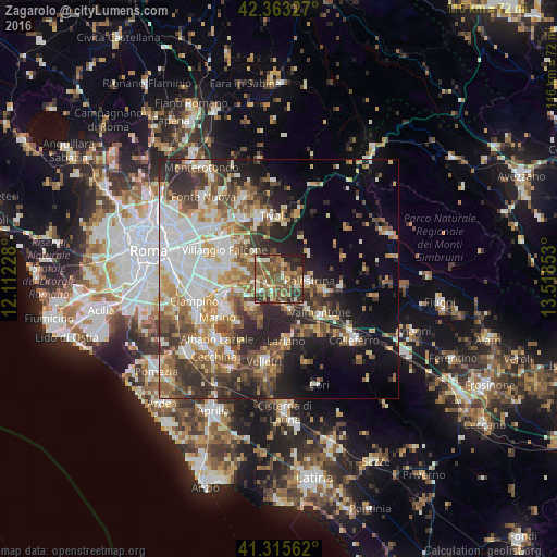
Analysis of Zagarolo night lights 2016
Square area 10x10 km:
 1.59%
1.59%90-99
9.05%80-89
7.3%70-79
8.57%60-69
12.86%50-59
26.03%40-49
15.87%30-39
9.37%20-29
7.94%10-19
1.43%0-9
0%Square area 50x50 km:
8.2%90-99
8.25%80-89
4.84%70-79
5.59%60-69
5.55%50-59
6.78%40-49
6.89%30-39
6.43%20-29
9.48%10-19
11.21%0-9
26.77%Clear (daylight) street map image can be seen on geolist.org.
Map coordinates:
42° 21' 47.8" North, 12° 6' 44.2" East
41° 50' 29.7" North, 12° 48' 55.4" East
41° 18' 56.2" North, 13° 31' 6.7" East
Some cities around Zagarolo sort by population:
• Palestrina
5.6 km =3.5 mi,  100°
100°
• Valmontone
11.4 km =7.1 mi,  131°
131°
• San Cesareo
2.4 km =1.5 mi,  201°
201°
• Rocca Priora
9.4 km =5.8 mi,  206°
206°
• Cave
10.7 km =6.6 mi, 104°
• Monte Porzio Catone
8.9 km =5.5 mi,  251°
251°
• Montecompatri
7.4 km =4.6 mi,  240°
240°
• Corcolle
9.5 km =5.9 mi,  316°
316°
3163932 (p: 11,509)
Sources (retrieved 2019-11-25):
» Earth at Night: Flat Maps 2012, 2016