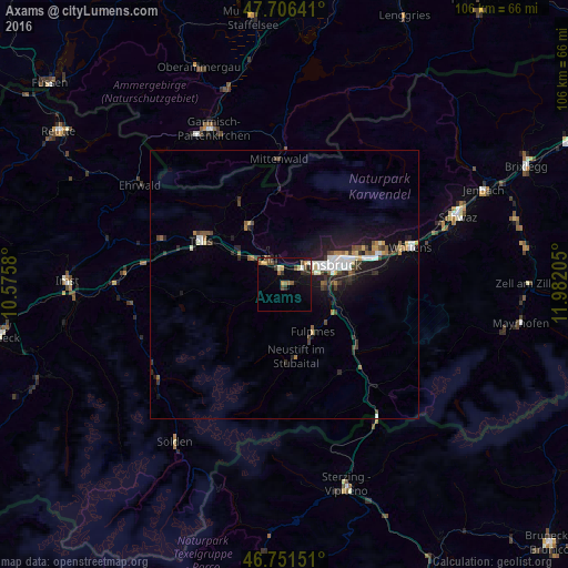
Axams night lights from space
Night Light of Axams (Tyrol) from space (Austria) Src. Average luminocity for 10x10km area is 13.0625% and for 50x50km: 4.2551%.
Analysis of Axams night lights 2016
Square area 10x10 km:
100  0.3%
0.3%
90-99 1.49%
80-89 1.34%
70-79 2.23%
60-69 1.34%
50-59 2.53%
40-49 3.27%
30-39 2.68%
20-29 2.68%
10-19 6.4%
0-9 75.74%
0.3%90-99
1.49%80-89
1.34%70-79
2.23%60-69
1.34%50-59
2.53%40-49
3.27%30-39
2.68%20-29
2.68%10-19
6.4%0-9
75.74%Square area 50x50 km:
100 0.57%
90-99 0.67%
80-89 0.3%
70-79 0.39%
60-69 0.39%
50-59 0.56%
40-49 0.67%
30-39 0.76%
20-29 1.17%
10-19 3.63%
0-9 90.88%
0.57%90-99
0.67%80-89
0.3%70-79
0.39%60-69
0.39%50-59
0.56%40-49
0.67%30-39
0.76%20-29
1.17%10-19
3.63%0-9
90.88%Clear (daylight) street map image can be seen on geolist.org.
Map coordinates:
47° 42' 23.1" North, 10° 34' 32.9" East
47° 13' 52" North, 11° 16' 44.1" East
46° 45' 5.4" North, 11° 58' 55.4" East
Some cities around Axams sort by population:
• Innsbruck
9.4 km =5.8 mi,  68°
68°
• Hötting
7.9 km =4.9 mi,  58°
58°
• Pradl
11 km =6.8 mi, 69°
• Wilten
8.8 km =5.5 mi, 69°
• Zirl
5.6 km =3.5 mi,  328°
328°
• Völs
4.6 km =2.9 mi, 62°
• Amras
10.6 km =6.6 mi,  78°
78°
• Mühlau
10.8 km =6.7 mi, 57°
2782106 (p: 5,130)
Sources (retrieved 2019-11-25):
» Earth at Night: Flat Maps 2012, 2016