Vercelli night lights from space
Night Light of Vercelli (Piedmont) from space (Italy) Src. Average luminocity for 10x10km area is 39.3857% and for 50x50km: 14.3124%.
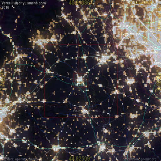
Analysis of Vercelli night lights 2016
Square area 10x10 km:
 8.73%
8.73%90-99
9.84%80-89
2.54%70-79
3.65%60-69
2.54%50-59
5.71%40-49
3.02%30-39
2.06%20-29
11.43%10-19
46.03%0-9
4.44%Square area 50x50 km:
1.84%90-99
2.39%80-89
1.01%70-79
1.41%60-69
1.44%50-59
1.71%40-49
2.04%30-39
2.33%20-29
4.67%10-19
10.94%0-9
70.21%Clear (daylight) street map image can be seen on geolist.org.
Map coordinates:
45° 48' 49.9" North, 7° 43' 0.4" East
45° 19' 17.9" North, 8° 25' 11.6" East
44° 49' 30.3" North, 9° 7' 22.9" East
Some cities around Vercelli sort by population:
• Novara
21 km =13 mi,  48°
48°
• Casale Monferrato
21.1 km =13.1 mi,  173°
173°
• Mortara
25.8 km =16 mi,  108°
108°
• Cameri
27.5 km =17.1 mi,  43°
43°
• Santhià
20.2 km =12.6 mi,  284°
284°
• Trino
17.1 km =10.6 mi,  214°
214°
• Robbio
14 km =8.7 mi, 105°
• Cilavegna
25.4 km =15.8 mi,  92°
92°
3164565 (p: 45,593)
Sources (retrieved 2019-11-25):
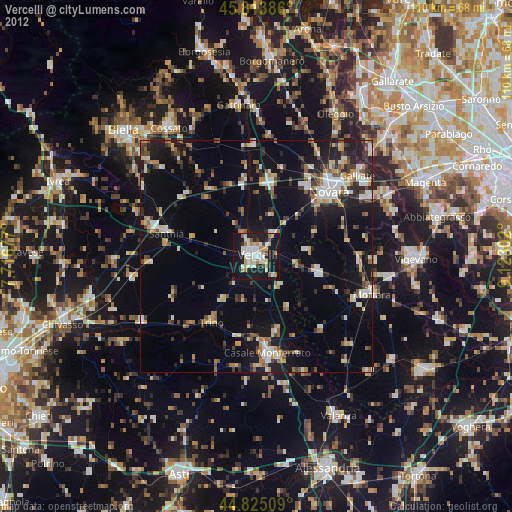
» Earth at Night: Flat Maps 2012, 2016