Casale Monferrato night lights from space
Night Light of Casale Monferrato (Piedmont) from space (Italy) Src. Average luminocity for 10x10km area is 31.4485% and for 50x50km: 11.7214%.
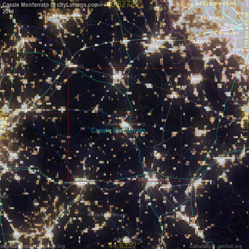
Analysis of Casale Monferrato night lights 2016
Square area 10x10 km:
 6.36%
6.36%90-99
4.55%80-89
2.88%70-79
1.67%60-69
3.48%50-59
4.24%40-49
5.3%30-39
3.64%20-29
3.79%10-19
49.55%0-9
14.55%Square area 50x50 km:
1.21%90-99
1.88%80-89
0.85%70-79
1%60-69
1.26%50-59
1.54%40-49
1.94%30-39
1.68%20-29
2.72%10-19
10.81%0-9
75.11%Clear (daylight) street map image can be seen on geolist.org.
Map coordinates:
45° 37' 38.1" North, 7° 44' 57.7" East
45° 8' 0.2" North, 8° 27' 9" East
44° 38' 6.7" North, 9° 9' 20.2" East
Some cities around Casale Monferrato sort by population:
• Alessandria
27.8 km =17.3 mi,  153°
153°
• Vercelli
21.1 km =13.1 mi,  353°
353°
• Valenza
20.2 km =12.6 mi,  131°
131°
• Mortara
25.5 km =15.8 mi,  59°
59°
• Trino
14.1 km =8.8 mi,  299°
299°
• Mede
22.7 km =14.1 mi,  100°
100°
• Crescentino
29.6 km =18.4 mi,  284°
284°
• Robbio
20.5 km =12.7 mi,  32°
32°
3180208 (p: 31,275)
Sources (retrieved 2019-11-25):
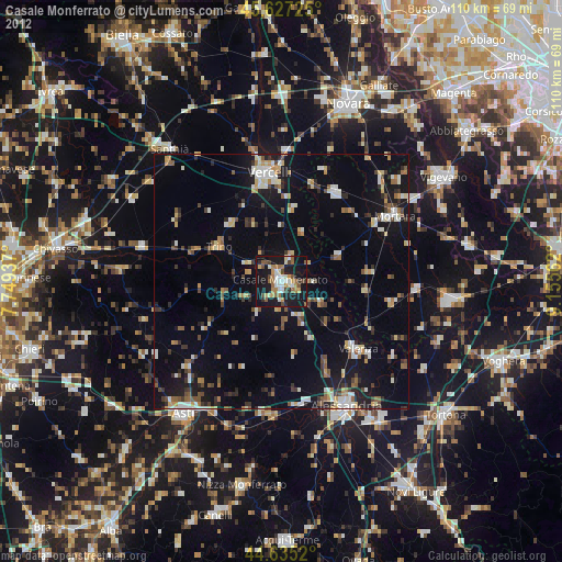
» Earth at Night: Flat Maps 2012, 2016