Vanzaghello night lights from space
Night Light of Vanzaghello (Lombardy) from space (Italy) Src. Average luminocity for 10x10km area is 71.0409% and for 50x50km: 52.7896%.
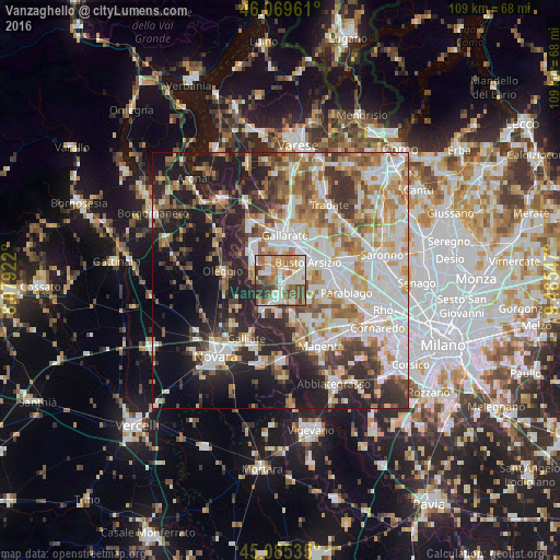
Analysis of Vanzaghello night lights 2016
Square area 10x10 km:
 12.73%
90-99
18.33%80-89
8.33%70-79
11.21%60-69
16.97%50-59
10.3%40-49
12.12%30-39
7.27%20-29
2.73%10-19
0%0-9
0%Square area 50x50 km:
11.93%90-99
12.98%80-89
5.5%70-79
6.48%60-69
7.71%50-59
6.46%40-49
5.82%30-39
6.91%20-29
11.29%10-19
14.56%0-9
10.36%Clear (daylight) street map image can be seen on geolist.org.
Map coordinates:
46° 4' 10.6" North, 8° 4' 45.2" East
45° 34' 46.7" North, 8° 46' 56.4" East
45° 5' 7.3" North, 9° 29' 7.7" East
Some cities around Vanzaghello sort by population:
• Busto Arsizio
6.3 km =3.9 mi,  55°
55°
• Samarate
4.9 km =3 mi,  2°
2°
• Lonate Pozzolo
2.7 km =1.7 mi,  300°
300°
• Castano Primo
3.1 km =1.9 mi,  189°
189°
• Magnago
1.6 km =1 mi,  91°
91°
• Turbigo
6.5 km =4 mi,  213°
213°
• Ferno
4.4 km =2.7 mi,  333°
333°
• Dairago
6.4 km =4 mi,  103°
103°
3164728 (p: 5,303)
Sources (retrieved 2019-11-25):
» Earth at Night: Flat Maps 2012, 2016