Trezzano sul Naviglio night lights from space
Night Light of Trezzano sul Naviglio (Lombardy) from space (Italy) Src. Average luminocity for 10x10km area is 67.6937% and for 50x50km: 61.9336%.
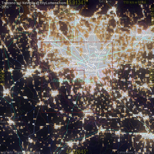
Analysis of Trezzano sul Naviglio night lights 2016
Square area 10x10 km:
 21.9%
21.9%90-99
19.21%80-89
2.7%70-79
4.92%60-69
3.65%50-59
9.52%40-49
13.02%30-39
15.08%20-29
10%10-19
0%0-9
0%Square area 50x50 km:
24.45%90-99
15.01%80-89
5.12%70-79
5.67%60-69
5.52%50-59
4.16%40-49
4.53%30-39
5.02%20-29
9.91%10-19
14.1%0-9
6.5%Clear (daylight) street map image can be seen on geolist.org.
Map coordinates:
45° 54' 48.5" North, 8° 21' 37.1" East
45° 25' 19.6" North, 9° 3' 48.3" East
44° 55' 35.2" North, 9° 45' 59.6" East
Some cities around Trezzano sul Naviglio sort by population:
• Rozzano
8.5 km =5.3 mi,  121°
121°
• Corsico
3.8 km =2.4 mi,  75°
75°
• Romano Banco
3.4 km =2.1 mi,  88°
88°
• Cesano Boscone
3.3 km =2.1 mi,  47°
47°
• Bareggio
8.2 km =5.1 mi,  321°
321°
• Settimo Milanese
6.2 km =3.9 mi,  354°
354°
• Assago
5.1 km =3.2 mi,  106°
106°
• Gaggiano
2.9 km =1.8 mi,  229°
229°
3165198 (p: 20,001)
Sources (retrieved 2019-11-25):
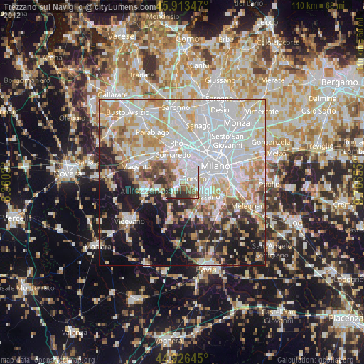
» Earth at Night: Flat Maps 2012, 2016