Rozzano night lights from space
Night Light of Rozzano (Lombardy) from space (Italy) Src. Average luminocity for 10x10km area is 80.5048% and for 50x50km: 59.2284%.
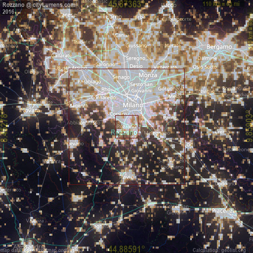
Analysis of Rozzano night lights 2016
Square area 10x10 km:
 26.67%
90-99
24.44%80-89
9.84%70-79
7.14%60-69
9.52%50-59
8.1%40-49
10.16%30-39
4.13%20-29
0%10-19
0%0-9
0%Square area 50x50 km:
21.89%90-99
14.12%80-89
5.01%70-79
5.09%60-69
5.49%50-59
4.65%40-49
4.57%30-39
6.07%20-29
11.87%10-19
14.66%0-9
6.58%Clear (daylight) street map image can be seen on geolist.org.
Map coordinates:
45° 52' 25.1" North, 8° 27' 10" East
45° 22' 54.9" North, 9° 9' 21.2" East
44° 53' 9.3" North, 9° 51' 32.5" East
Some cities around Rozzano sort by population:
• Corsico
6.5 km =4 mi,  327°
327°
• Romano Banco
6 km =3.7 mi,  320°
320°
• Pieve Emanuele
5.1 km =3.2 mi,  133°
133°
• Opera
4.4 km =2.7 mi,  102°
102°
• Locate di Triulzi
6.1 km =3.8 mi,  117°
117°
• Assago
3.8 km =2.4 mi, 321°
• Lacchiarella
6.7 km =4.2 mi,  192°
192°
• Basiglio
2.5 km =1.6 mi,  175°
175°
3168837 (p: 39,731)
Sources (retrieved 2019-11-25):
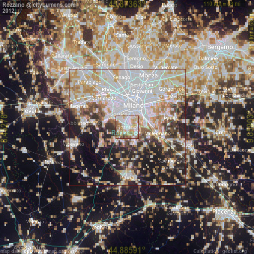
» Earth at Night: Flat Maps 2012, 2016