Corsico night lights from space
Night Light of Corsico (Lombardy) from space (Italy) Src. Average luminocity for 10x10km area is 88.2825% and for 50x50km: 64.9126%.
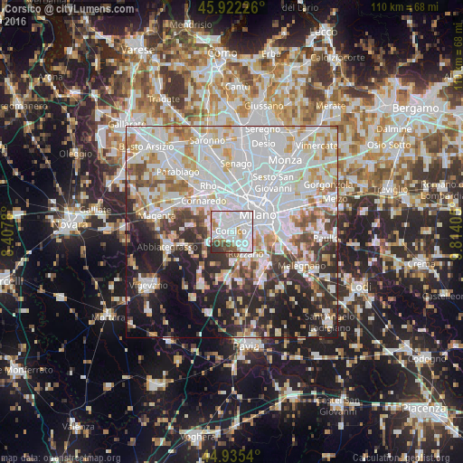
Analysis of Corsico night lights 2016
Square area 10x10 km:
 43.81%
90-99
30.95%80-89
2.38%70-79
4.92%60-69
2.86%50-59
4.44%40-49
5.24%30-39
4.92%20-29
0.48%10-19
0%0-9
0%Square area 50x50 km:
25.9%90-99
16.14%80-89
5.55%70-79
5.84%60-69
5.68%50-59
4.24%40-49
4.5%30-39
5.5%20-29
10.03%10-19
11.96%0-9
4.67%Clear (daylight) street map image can be seen on geolist.org.
Map coordinates:
45° 55' 20.1" North, 8° 24' 28.1" East
45° 25' 51.6" North, 9° 6' 39.3" East
44° 56' 7.4" North, 9° 48' 50.6" East
Some cities around Corsico sort by population:
• Milan
7.2 km =4.5 mi,  58°
58°
• Rozzano
6.5 km =4 mi,  147°
147°
• Romano Banco
0.9 km =0.6 mi,  198°
198°
• Cesano Boscone
1.8 km =1.1 mi,  313°
313°
• Trezzano sul Naviglio
3.8 km =2.4 mi,  255°
255°
• Settimo Milanese
6.7 km =4.2 mi,  320°
320°
• Assago
2.7 km =1.7 mi, 154°
• Gaggiano
6.6 km =4.1 mi,  243°
243°
3178004 (p: 33,669)
Sources (retrieved 2019-11-25):
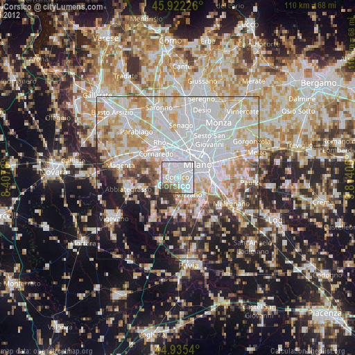
» Earth at Night: Flat Maps 2012, 2016