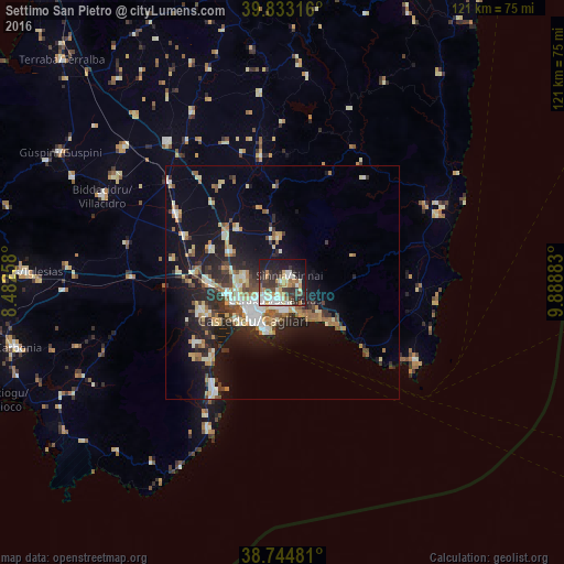
Settimo San Pietro night lights from space
Night Light of Settimo San Pietro (Sardinia) from space (Italy) Src. Average luminocity for 10x10km area is 47.4898% and for 50x50km: 14.8915%.
Analysis of Settimo San Pietro night lights 2016
Square area 10x10 km:
 6.97%
6.97%90-99
12.07%80-89
6.12%70-79
5.1%60-69
6.63%50-59
2.55%40-49
5.95%30-39
13.44%20-29
12.76%10-19
24.66%0-9
3.74%Square area 50x50 km:
1.71%90-99
2.78%80-89
1.96%70-79
1.68%60-69
2.04%50-59
1.41%40-49
1.8%30-39
2.36%20-29
4.83%10-19
11.02%0-9
68.41%Clear (daylight) street map image can be seen on geolist.org.
Map coordinates:
39° 49' 59.4" North, 8° 28' 57.3" East
39° 17' 28" North, 9° 11' 8.5" East
38° 44' 41.3" North, 9° 53' 19.8" East
Some cities around Settimo San Pietro sort by population:
• Cagliari
8.8 km =5.5 mi,  220°
220°
• Quartu Sant'Elena
8.8 km =5.5 mi,  141°
141°
• Selargius
4.2 km =2.6 mi,  207°
207°
• Monserrato
5.2 km =3.2 mi, 222°
• Sestu
8.1 km =5 mi,  275°
275°
• Sinnai
2 km =1.2 mi,  48°
48°
• Quartucciu
4.3 km =2.7 mi,  189°
189°
• Maracalagonis
3.8 km =2.4 mi,  99°
99°
2523135 (p: 6,361)
Sources (retrieved 2019-11-25):
» Earth at Night: Flat Maps 2012, 2016