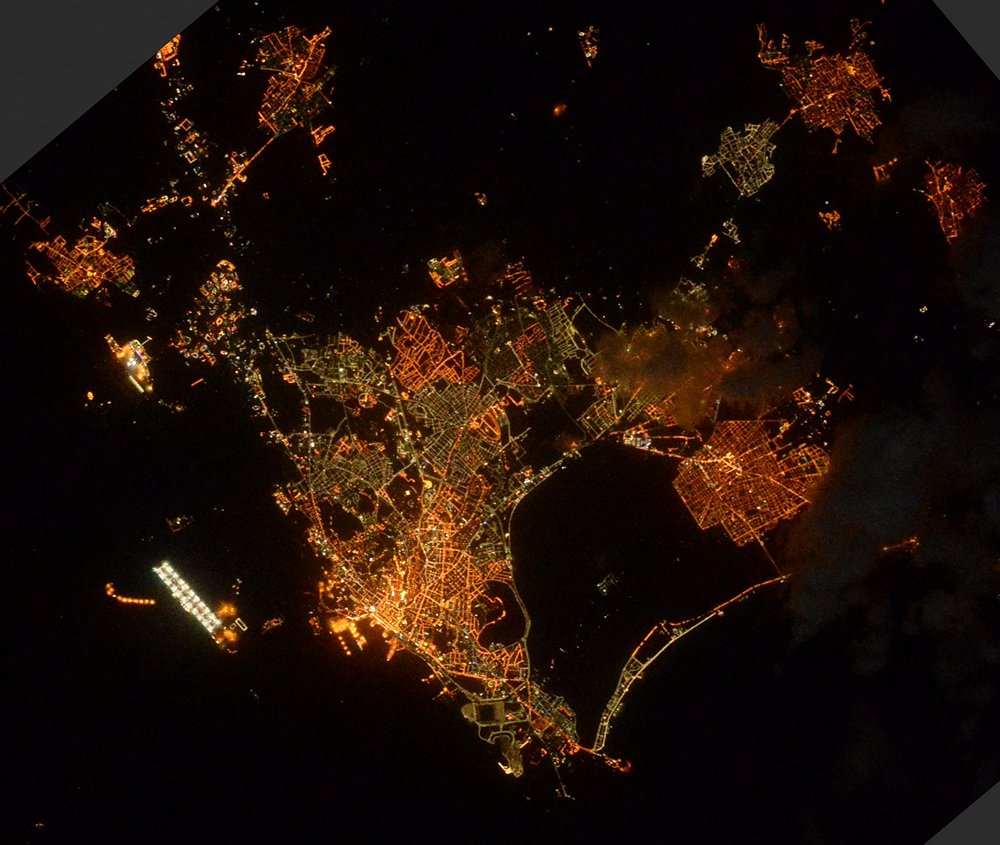
Cagliari night lights from space
Night Light of Cagliari (Sardinia) from space (Italy) Src. Average luminocity for 10x10km area is 76.8861% and for 50x50km: 14.6033%.
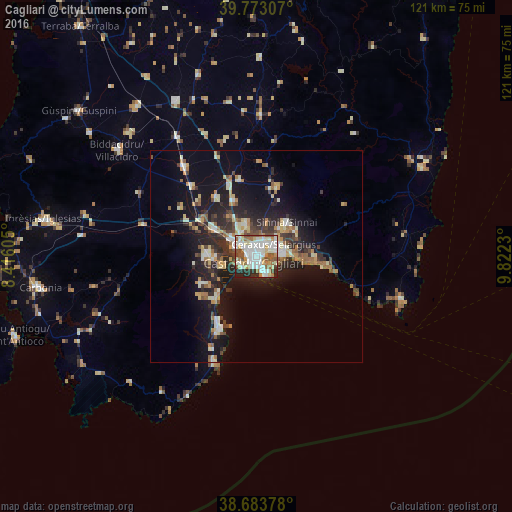
Analysis of Cagliari night lights 2016
Square area 10x10 km:
 22.45%
90-99
26.7%80-89
9.35%70-79
5.95%60-69
9.69%50-59
7.65%40-49
6.46%30-39
2.21%20-29
9.01%10-19
0.51%0-9
0%Square area 50x50 km:
1.66%90-99
2.78%80-89
1.78%70-79
1.66%60-69
2.02%50-59
1.44%40-49
1.78%30-39
2.24%20-29
4.83%10-19
11.66%0-9
68.15%Clear (daylight) street map image can be seen on geolist.org.
Map coordinates:
39° 46' 23.1" North, 8° 24' 57.8" East
39° 13' 49.9" North, 9° 7' 9" East
38° 41' 1.6" North, 9° 49' 20.3" East
Fantastic image of Cagliari from space taken by astronauts [src2], but I don't have information about it's orientation, scale or angle. If necessary, it was rotated manually, so North points approximately to upper direction. Click to zoom in:
Some cities around Cagliari sort by population:
• Selargius
4.9 km =3 mi,  51°
51°
• Monserrato
3.6 km =2.2 mi,  37°
37°
• Sestu
7.9 km =4.9 mi,  343°
343°
• Sinnai
10.8 km =6.7 mi, 41°
• Quartucciu
5.6 km =3.5 mi,  64°
64°
• Elmas
7.3 km =4.5 mi,  305°
305°
• Maracalagonis
11.3 km =7 mi, 56°
• Settimo San Pietro
8.8 km =5.5 mi, 40°
2525473 (p: 149,257)
Sources (retrieved 2019-11-25):
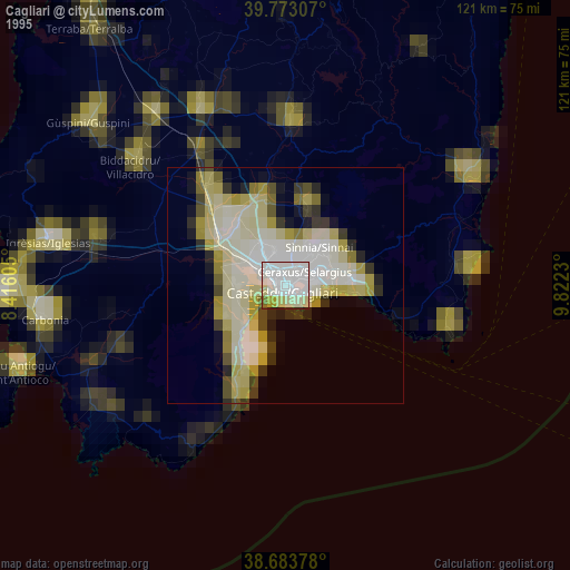
» NASA, Earths city lights 1995
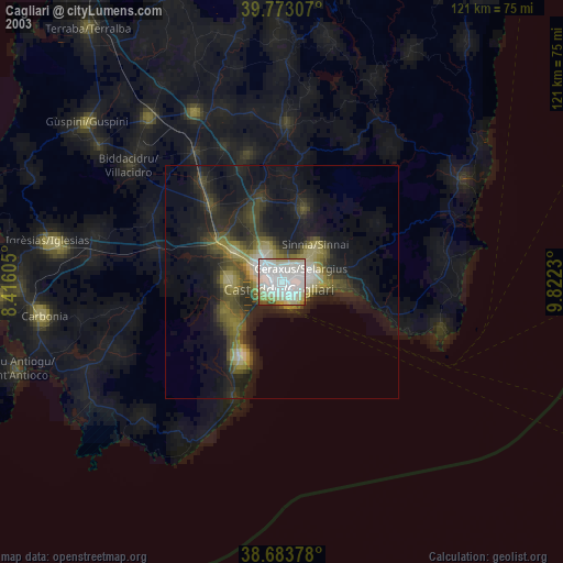
» NASA city lights 2003
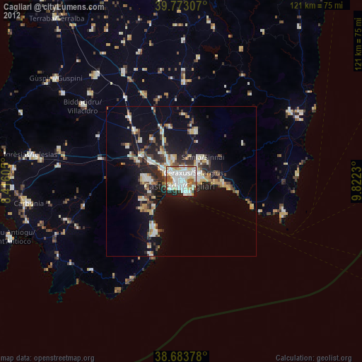
» Earth at Night: Flat Maps 2012, 2016
Src.2: Tim Kopra, Twitter/@astro_tim, 2016-04-27