Monserrato night lights from space
Night Light of Monserrato (Sardinia) from space (Italy) Src. Average luminocity for 10x10km area is 74.915% and for 50x50km: 14.6919%.
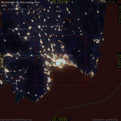
Analysis of Monserrato night lights 2016
Square area 10x10 km:
 20.41%
90-99
23.64%80-89
8.33%70-79
7.14%60-69
9.86%50-59
7.99%40-49
9.01%30-39
9.69%20-29
3.91%10-19
0%0-9
0%Square area 50x50 km:
1.66%90-99
2.74%80-89
1.85%70-79
1.68%60-69
2%50-59
1.44%40-49
1.8%30-39
2.27%20-29
4.81%10-19
11.54%0-9
68.2%Clear (daylight) street map image can be seen on geolist.org.
Map coordinates:
39° 47' 55.5" North, 8° 26' 28.6" East
39° 15' 23.1" North, 9° 8' 39.8" East
38° 42' 35.5" North, 9° 50' 51.1" East
Some cities around Monserrato sort by population:
• Cagliari
3.6 km =2.2 mi,  217°
217°
• Selargius
1.6 km =1 mi,  84°
84°
• Sestu
6.5 km =4 mi,  316°
316°
• Sinnai
7.2 km =4.5 mi,  44°
44°
• Quartucciu
2.9 km =1.8 mi,  98°
98°
• Elmas
8.2 km =5.1 mi,  279°
279°
• Maracalagonis
8 km =5 mi,  65°
65°
• Settimo San Pietro
5.2 km =3.2 mi, 42°
2524084 (p: 20,193)
Sources (retrieved 2019-11-25):
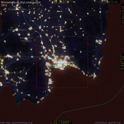
» Earth at Night: Flat Maps 2012, 2016