Seregno night lights from space
Night Light of Seregno (Lombardy) from space (Italy) Src. Average luminocity for 10x10km area is 97.0818% and for 50x50km: 74.7968%.
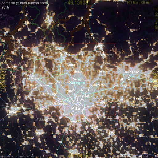
Analysis of Seregno night lights 2016
Square area 10x10 km:
 76.52%
90-99
12.27%80-89
3.48%70-79
5.61%60-69
2.12%50-59
0%40-49
0%30-39
0%20-29
0%10-19
0%0-9
0%Square area 50x50 km:
28.51%90-99
18.99%80-89
7.03%70-79
8.67%60-69
8.85%50-59
6.53%40-49
5.2%30-39
6.23%20-29
4.25%10-19
4.12%0-9
1.6%Clear (daylight) street map image can be seen on geolist.org.
Map coordinates:
46° 8' 21.8" North, 8° 30' 8.5" East
45° 39' 0.1" North, 9° 12' 19.7" East
45° 9' 22.9" North, 9° 54' 31" East
Some cities around Seregno sort by population:
• Desio
3.5 km =2.2 mi,  183°
183°
• Cesano Maderno
4.8 km =3 mi,  240°
240°
• Meda
4.2 km =2.6 mi,  287°
287°
• Carate Brianza
3.8 km =2.4 mi,  40°
40°
• Verano Brianza
4.5 km =2.8 mi,  19°
19°
• Sovico
4.5 km =2.8 mi,  95°
95°
• Cabiate
3.6 km =2.2 mi,  317°
317°
• Albiate
3.5 km =2.2 mi,  80°
80°
3166711 (p: 42,760)
Sources (retrieved 2019-11-25):
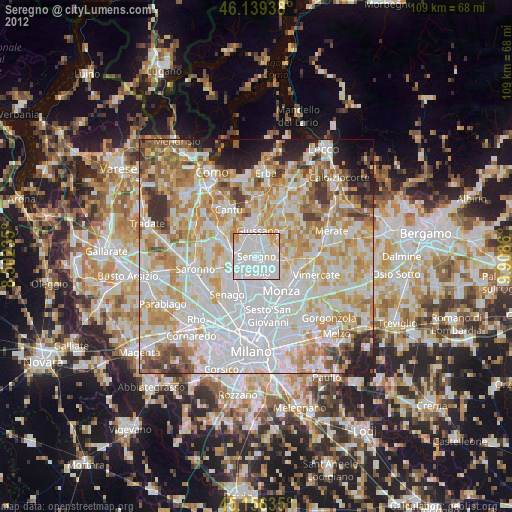
» Earth at Night: Flat Maps 2012, 2016