Desio night lights from space
Night Light of Desio (Lombardy) from space (Italy) Src. Average luminocity for 10x10km area is 99.8121% and for 50x50km: 77.0841%.
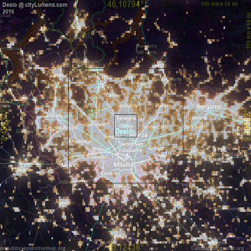
Analysis of Desio night lights 2016
Square area 10x10 km:
 92.88%
90-99
6.52%80-89
0.61%70-79
0%60-69
0%50-59
0%40-49
0%30-39
0%20-29
0%10-19
0%0-9
0%Square area 50x50 km:
29.45%90-99
19.73%80-89
7.41%70-79
9.04%60-69
9.11%50-59
6.58%40-49
5.5%30-39
6.45%20-29
3.66%10-19
2.77%0-9
0.3%Clear (daylight) street map image can be seen on geolist.org.
Map coordinates:
46° 6' 28.6" North, 8° 29' 57.7" East
45° 37' 5.9" North, 9° 12' 9" East
45° 7' 27.7" North, 9° 54' 20.2" East
Some cities around Desio sort by population:
• Seregno
3.5 km =2.2 mi,  3°
3°
• Lissone
3 km =1.9 mi,  102°
102°
• Cesano Maderno
4.1 km =2.5 mi,  287°
287°
• Muggiò
3.8 km =2.4 mi,  149°
149°
• Nova Milanese
3.3 km =2.1 mi,  186°
186°
• Bovisio-Masciago
4 km =2.5 mi,  256°
256°
• Varedo
3.8 km =2.4 mi,  232°
232°
• Vedano al Lambro
5.2 km =3.2 mi, 101°
3177608 (p: 40,337)
Sources (retrieved 2019-11-25):
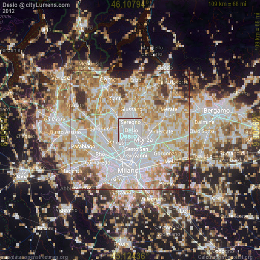
» Earth at Night: Flat Maps 2012, 2016