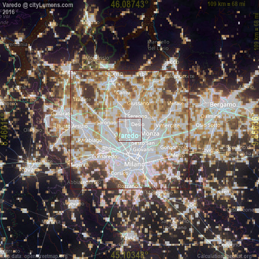
Varedo night lights from space
Night Light of Varedo (Lombardy) from space (Italy) Src. Average luminocity for 10x10km area is 98.1924% and for 50x50km: 78.6653%.
Analysis of Varedo night lights 2016
Square area 10x10 km:
 75.3%
75.3%90-99
17.88%80-89
3.03%70-79
3.79%60-69
0%50-59
0%40-49
0%30-39
0%20-29
0%10-19
0%0-9
0%Square area 50x50 km:
30.04%90-99
20.47%80-89
7.85%70-79
8.94%60-69
9.48%50-59
6.85%40-49
5.65%30-39
6%20-29
3.16%10-19
1.55%0-9
0.01%Clear (daylight) street map image can be seen on geolist.org.
Map coordinates:
46° 5' 14.7" North, 8° 27' 36.4" East
45° 35' 51.4" North, 9° 9' 47.6" East
45° 6' 12.5" North, 9° 51' 58.9" East
Some cities around Varedo sort by population:
• Paderno Dugnano
3.2 km =2 mi,  177°
177°
• Desio
3.8 km =2.4 mi,  52°
52°
• Cesano Maderno
3.6 km =2.2 mi,  345°
345°
• Limbiate
3 km =1.9 mi,  274°
274°
• Muggiò
5.1 km =3.2 mi,  101°
101°
• Nova Milanese
2.9 km =1.8 mi,  109°
109°
• Senago
3.8 km =2.4 mi,  229°
229°
• Bovisio-Masciago
1.6 km =1 mi,  330°
330°
3164702 (p: 12,750)
Sources (retrieved 2019-11-25):
» Earth at Night: Flat Maps 2012, 2016