San Giuliano Milanese night lights from space
Night Light of San Giuliano Milanese (Lombardy) from space (Italy) Src. Average luminocity for 10x10km area is 72.1381% and for 50x50km: 60.4274%.
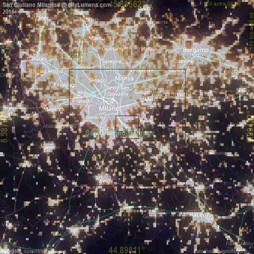
Analysis of San Giuliano Milanese night lights 2016
Square area 10x10 km:
 20.63%
90-99
17.78%80-89
8.1%70-79
5.08%60-69
8.57%50-59
12.7%40-49
16.83%30-39
10.32%20-29
0%10-19
0%0-9
0%Square area 50x50 km:
22.08%90-99
14.12%80-89
4.98%70-79
5.53%60-69
5.59%50-59
4.95%40-49
4.67%30-39
6.06%20-29
14.03%10-19
15.15%0-9
2.82%Clear (daylight) street map image can be seen on geolist.org.
Map coordinates:
45° 53' 8.2" North, 8° 35' 16.7" East
45° 23' 38.5" North, 9° 17' 27.9" East
44° 53' 53.2" North, 9° 59' 39.2" East
Some cities around San Giuliano Milanese sort by population:
• San Donato Milanese
2.5 km =1.6 mi,  315°
315°
• Melegnano
4.8 km =3 mi,  147°
147°
• Bettola-Zeloforomagno
4.3 km =2.7 mi,  18°
18°
• Pieve Emanuele
8.4 km =5.2 mi,  234°
234°
• Opera
6.7 km =4.2 mi,  250°
250°
• Paullo
9 km =5.6 mi,  72°
72°
• Locate di Triulzi
6.6 km =4.1 mi, 231°
• Pantigliate
6.6 km =4.1 mi,  46°
46°
3168222 (p: 31,050)
Sources (retrieved 2019-11-25):
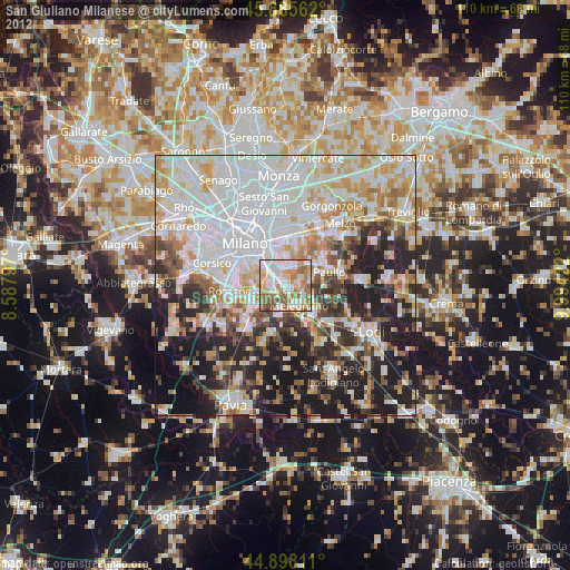
» Earth at Night: Flat Maps 2012, 2016