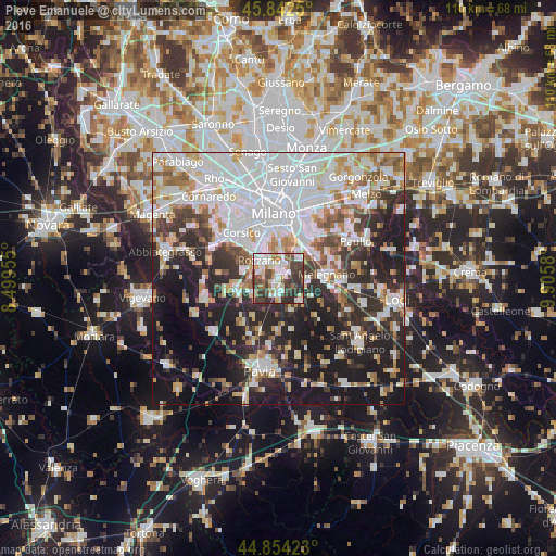
Pieve Emanuele night lights from space
Night Light of Pieve Emanuele (Lombardy) from space (Italy) Src. Average luminocity for 10x10km area is 65.7492% and for 50x50km: 53.9751%.
Analysis of Pieve Emanuele night lights 2016
Square area 10x10 km:
 16.35%
90-99
17.62%80-89
7.46%70-79
3.49%60-69
8.25%50-59
5.71%40-49
15.4%30-39
17.78%20-29
7.94%10-19
0%0-9
0%Square area 50x50 km:
18.18%90-99
12.02%80-89
4.76%70-79
4.58%60-69
5.33%50-59
4.87%40-49
4.65%30-39
6.52%20-29
12.65%10-19
19.54%0-9
6.91%Clear (daylight) street map image can be seen on geolist.org.
Map coordinates:
45° 50' 33" North, 8° 29' 58.4" East
45° 21' 1.9" North, 9° 12' 9.6" East
44° 51' 15.2" North, 9° 54' 20.9" East
Some cities around Pieve Emanuele sort by population:
• Rozzano
5.1 km =3.2 mi,  313°
313°
• San Giuliano Milanese
8.4 km =5.2 mi,  54°
54°
• San Donato Milanese
8.4 km =5.2 mi,  37°
37°
• Opera
2.6 km =1.6 mi,  13°
13°
• Locate di Triulzi
1.9 km =1.2 mi,  67°
67°
• Lacchiarella
5.9 km =3.7 mi,  238°
238°
• Basiglio
3.6 km =2.2 mi,  285°
285°
• Siziano
3.8 km =2.4 mi,  178°
178°
6534212 (p: 11,680)
Sources (retrieved 2019-11-25):
» Earth at Night: Flat Maps 2012, 2016