Salerno night lights from space
Night Light of Salerno (Campania) from space (Italy) Src. Average luminocity for 10x10km area is 63.5747% and for 50x50km: 30.3866%.
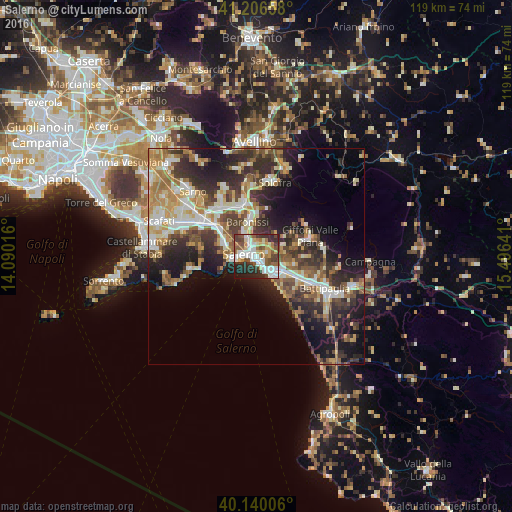
Analysis of Salerno night lights 2016
Square area 10x10 km:
 16.88%
90-99
14.94%80-89
7.63%70-79
6.17%60-69
4.87%50-59
12.18%40-49
8.44%30-39
8.44%20-29
15.1%10-19
5.36%0-9
0%Square area 50x50 km:
4.08%90-99
5.88%80-89
3.75%70-79
4.09%60-69
4.81%50-59
4.72%40-49
4.33%30-39
6.25%20-29
9.56%10-19
11.83%0-9
40.7%Clear (daylight) street map image can be seen on geolist.org.
Map coordinates:
41° 12' 23.7" North, 14° 5' 24.6" East
40° 40' 31.6" North, 14° 47' 35.8" East
40° 8' 24.2" North, 15° 29' 47.1" East
Some cities around Salerno sort by population:
• Cava Dè Tirreni
7.7 km =4.8 mi,  290°
290°
• Nocera Superiore
12.5 km =7.8 mi,  306°
306°
• Baronissi
8.3 km =5.2 mi,  348°
348°
• Mercato San Severino
12.6 km =7.8 mi,  344°
344°
• Pontecagnano
7.8 km =4.8 mi,  116°
116°
• Montecorvino Pugliano
12.8 km =8 mi,  88°
88°
• Lancusi-Penta-Bolano
9.6 km =6 mi,  355°
355°
• Piazza del Galdo-Sant'Angelo
12.7 km =7.9 mi,  329°
329°
3168673 (p: 125,797)
Sources (retrieved 2019-11-25):
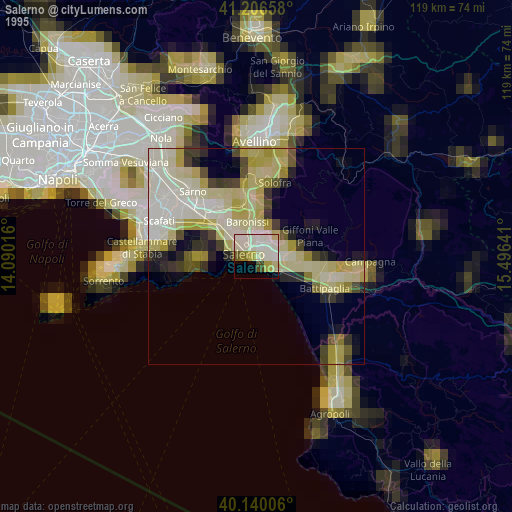
» NASA, Earths city lights 1995
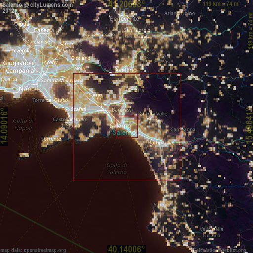
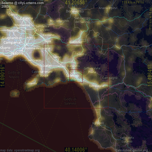
» NASA city lights 2003
» Earth at Night: Flat Maps 2012, 2016