Nocera Superiore night lights from space
Night Light of Nocera Superiore (Campania) from space (Italy) Src. Average luminocity for 10x10km area is 71.9432% and for 50x50km: 40.8586%.
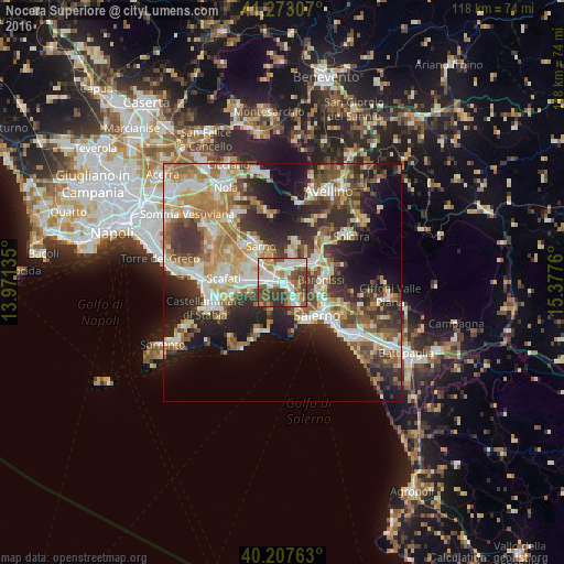
Analysis of Nocera Superiore night lights 2016
Square area 10x10 km:
 17.05%
90-99
20.45%80-89
8.12%70-79
7.14%60-69
11.2%50-59
11.2%40-49
13.31%30-39
9.9%20-29
1.62%10-19
0%0-9
0%Square area 50x50 km:
6.12%90-99
8.58%80-89
5.02%70-79
5.78%60-69
7.16%50-59
6.46%40-49
5.2%30-39
7.64%20-29
10.19%10-19
12.66%0-9
25.19%Clear (daylight) street map image can be seen on geolist.org.
Map coordinates:
41° 16' 23.1" North, 13° 58' 16.9" East
40° 44' 32.9" North, 14° 40' 28.1" East
40° 12' 27.5" North, 15° 22' 39.4" East
Some cities around Nocera Superiore sort by population:
• Cava Dè Tirreni
5.5 km =3.4 mi,  149°
149°
• Pagani
5.1 km =3.2 mi,  269°
269°
• Siano
6.8 km =4.2 mi,  13°
13°
• Sant'Egidio del Monte Albino
6.7 km =4.2 mi, 266°
• Castel San Giorgio
4.9 km =3 mi,  26°
26°
• Roccapiemonte
2.4 km =1.5 mi,  35°
35°
• Piazza del Galdo-Sant'Angelo
5 km =3.1 mi,  45°
45°
• Lanzara
3.6 km =2.2 mi,  2°
2°
3172243 (p: 23,452)
Sources (retrieved 2019-11-25):
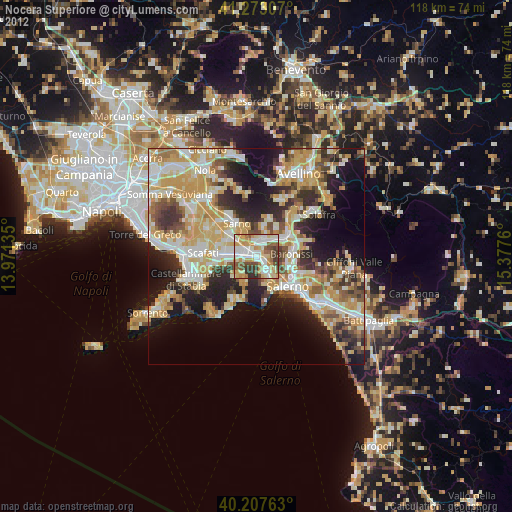
» Earth at Night: Flat Maps 2012, 2016