Rome night lights from space
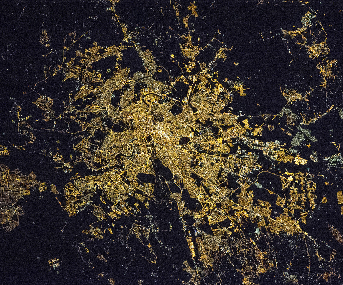
Night Light of Rome (Latium) from space (Italy) Src. Average luminocity for 10x10km area is 99.0968% and for 50x50km: 58.2745%.
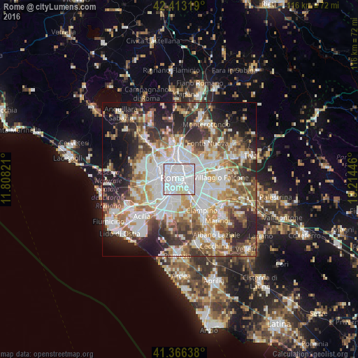
Analysis of Rome night lights 2016
Square area 10x10 km:
 75.87%
90-99
20.79%80-89
3.33%70-79
0%60-69
0%50-59
0%40-49
0%30-39
0%20-29
0%10-19
0%0-9
0%Square area 50x50 km:
15.93%90-99
13.87%80-89
6.2%70-79
6.38%60-69
7.02%50-59
7.87%40-49
6.74%30-39
6.64%20-29
11.98%10-19
10.43%0-9
6.93%Clear (daylight) street map image can be seen on geolist.org.
Map coordinates:
42° 24' 47.5" North, 11° 48' 29.6" East
41° 53' 30.9" North, 12° 30' 40.8" East
41° 21' 59" North, 13° 12' 52.1" East
Fantastic image of Rome from space taken by astronauts [src2], but I don't have information about it's orientation, scale or angle. If necessary, it was rotated manually, so North points approximately to upper direction. Click to zoom in:
Some cities around Rome sort by population:
• Ciampino
12.6 km =7.8 mi,  143°
143°
• Tor Lupara
14.7 km =9.1 mi,  36°
36°
• La Massimina-Casal Lumbroso
12.9 km =8 mi,  260°
260°
• Santa Lucia
15.6 km =9.7 mi,  49°
49°
• Marco Simone
13.3 km =8.3 mi,  57°
57°
• Selcetta
14.4 km =8.9 mi,  191°
191°
• Vitinia
14.1 km =8.8 mi,  217°
217°
• Vatican City, VA
4.9 km =3 mi,  284°
284°
3169070 (p: 2,318,895)
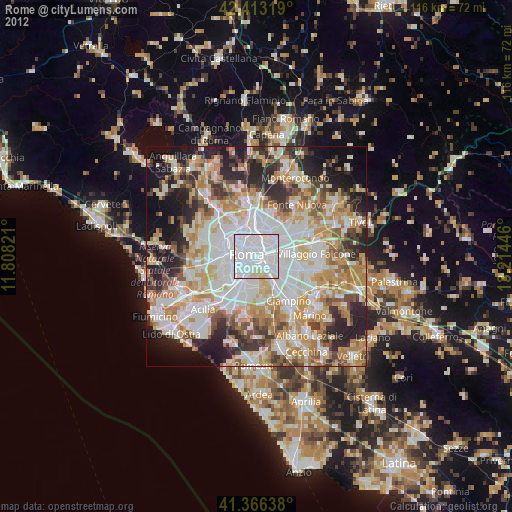
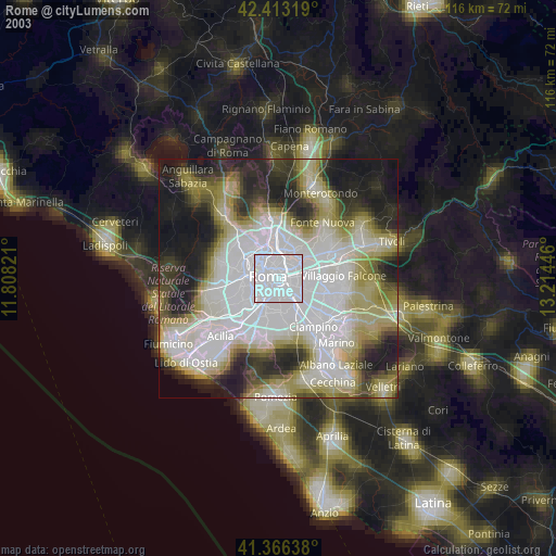
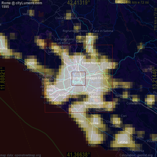
Sources (retrieved 2019-11-25):
» NASA, Earths city lights 1995
» NASA city lights 2003
» Earth at Night: Flat Maps 2012, 2016
Src.2: Nasa night light images