Tor Lupara night lights from space
Night Light of Tor Lupara (Latium) from space (Italy) Src. Average luminocity for 10x10km area is 60.1381% and for 50x50km: 49.4135%.
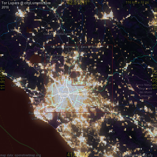
Analysis of Tor Lupara night lights 2016
Square area 10x10 km:
 6.67%
6.67%90-99
13.17%80-89
8.57%70-79
11.27%60-69
6.83%50-59
12.7%40-49
11.43%30-39
17.46%20-29
11.9%10-19
0%0-9
0%Square area 50x50 km:
13.67%90-99
11.7%80-89
5.28%70-79
5.6%60-69
5.73%50-59
6.22%40-49
4.96%30-39
5.35%20-29
9.19%10-19
9.73%0-9
22.56%Clear (daylight) street map image can be seen on geolist.org.
Map coordinates:
42° 31' 5.2" North, 11° 54' 54.1" East
41° 59' 51.8" North, 12° 37' 5.3" East
41° 28' 22.9" North, 13° 19' 16.6" East
Some cities around Tor Lupara sort by population:
• Guidonia Montecelio
8.6 km =5.3 mi,  93°
93°
• Monterotondo
6 km =3.7 mi,  1°
1°
• Guidonia
8.3 km =5.2 mi, 94°
• Mentana
4.7 km =2.9 mi,  27°
27°
• Bagni di Tivoli
9.7 km =6 mi,  123°
123°
• Villalba
10.4 km =6.5 mi, 117°
• Santa Lucia
3.6 km =2.2 mi, 118°
• Marco Simone
5.3 km =3.3 mi,  152°
152°
6534284 (p: 20,843)
Sources (retrieved 2019-11-25):
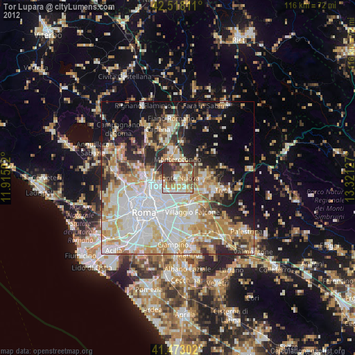
» Earth at Night: Flat Maps 2012, 2016