Rieti night lights from space
Night Light of Rieti (Latium) from space (Italy) Src. Average luminocity for 10x10km area is 38.7429% and for 50x50km: 10.1611%.
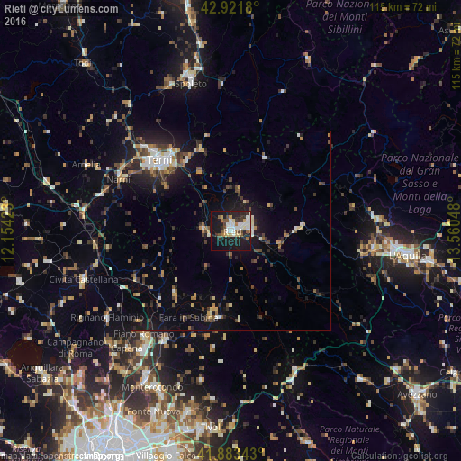
Analysis of Rieti night lights 2016
Square area 10x10 km:
 7.46%
7.46%90-99
9.52%80-89
3.81%70-79
2.7%60-69
3.81%50-59
4.13%40-49
3.33%30-39
4.76%20-29
12.54%10-19
37.3%0-9
10.63%Square area 50x50 km:
1.03%90-99
1.59%80-89
0.99%70-79
0.94%60-69
1.17%50-59
1.34%40-49
1.83%30-39
1.84%20-29
2.94%10-19
8.01%0-9
78.33%Clear (daylight) street map image can be seen on geolist.org.
Map coordinates:
42° 55' 18.5" North, 12° 9' 15.2" East
42° 24' 17.1" North, 12° 51' 26.5" East
41° 53' 0.3" North, 13° 33' 37.7" East
Some cities around Rieti sort by population:
• Terni
24.9 km =15.5 mi,  315°
315°
• Spoleto
38.6 km =24 mi,  345°
345°
• Fiano Romano
35.2 km =21.9 mi,  217°
217°
• Rignano Flaminio
38.1 km =23.7 mi,  234°
234°
• Palombara Sabina
38.1 km =23.7 mi,  191°
191°
• Capena
38.9 km =24.2 mi, 221°
• Narni
29.9 km =18.6 mi,  295°
295°
• Narni Scalo
31.5 km =19.6 mi, 297°
3169412 (p: 39,068)
Sources (retrieved 2019-11-25):
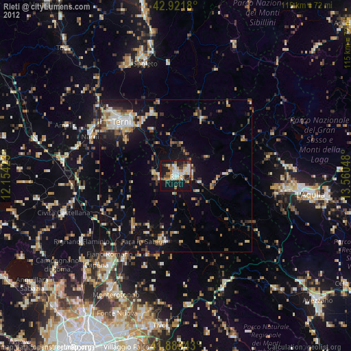
» Earth at Night: Flat Maps 2012, 2016