Pordenone night lights from space
Night Light of Pordenone (Friuli Venezia Giulia) from space (Italy) Src. Average luminocity for 10x10km area is 62.9866% and for 50x50km: 25.0505%.
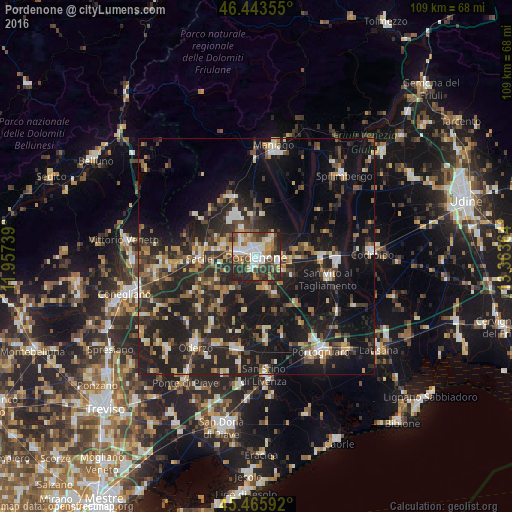


Analysis of Pordenone night lights 2016
Square area 10x10 km:
 14.88%
90-99
16.22%80-89
5.06%70-79
7.74%60-69
7.89%50-59
6.55%40-49
10.86%30-39
13.84%20-29
16.37%10-19
0.6%0-9
0%Square area 50x50 km:
2.01%90-99
3.74%80-89
2.25%70-79
2.78%60-69
3.26%50-59
3.69%40-49
4.65%30-39
5.09%20-29
11.8%10-19
24.47%0-9
36.27%Clear (daylight) street map image can be seen on geolist.org.
Map coordinates:
46° 26' 36.8" North, 11° 57' 26.6" East
45° 57' 24.8" North, 12° 39' 37.8" East
45° 27' 57.3" North, 13° 21' 49.1" East
Some cities around Pordenone sort by population:
• Sacile
12.2 km =7.6 mi,  268°
268°
• Cordenons
4.3 km =2.7 mi,  46°
46°
• Porcia
3.5 km =2.2 mi,  281°
281°
• Azzano Decimo
5.3 km =3.3 mi,  176°
176°
• Fiume Veneto
6.8 km =4.2 mi,  117°
117°
• Vigonovo-Fontanafredda
9.5 km =5.9 mi,  292°
292°
• Brugnera
11.2 km =7 mi,  235°
235°
• Roveredo in Piano
6.6 km =4.1 mi,  331°
331°
3170147 (p: 49,878)
Sources (retrieved 2019-11-25):
» NASA, Earths city lights 1995
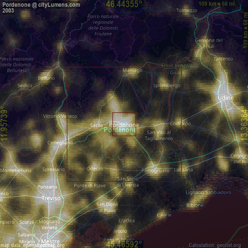
» NASA city lights 2003
» Earth at Night: Flat Maps 2012, 2016