Pavia night lights from space
Night Light of Pavia (Lombardy) from space (Italy) Src. Average luminocity for 10x10km area is 51.2485% and for 50x50km: 31.7599%.
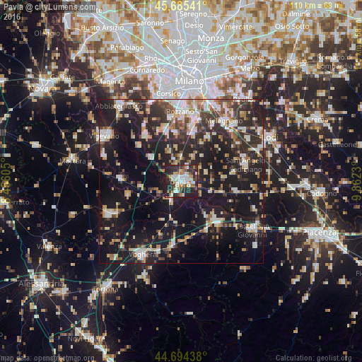
Analysis of Pavia night lights 2016
Square area 10x10 km:
 10%
10%90-99
12.88%80-89
5%70-79
3.48%60-69
7.73%50-59
4.39%40-49
5.61%30-39
8.64%20-29
29.85%10-19
12.42%0-9
0%Square area 50x50 km:
4.4%90-99
5.47%80-89
3.51%70-79
3.18%60-69
3.73%50-59
3.68%40-49
4.09%30-39
5.67%20-29
12.87%10-19
31.27%0-9
22.13%Clear (daylight) street map image can be seen on geolist.org.
Map coordinates:
45° 41' 7.5" North, 8° 27' 21.8" East
45° 11' 31.4" North, 9° 9' 33" East
44° 41' 39.8" North, 9° 51' 44.3" East
Some cities around Pavia sort by population:
• Stradella
17.2 km =10.7 mi,  139°
139°
• Casorate Primo
17.3 km =10.7 mi,  320°
320°
• Broni
16.3 km =10.1 mi,  150°
150°
• Motta Visconti
16.8 km =10.4 mi,  309°
309°
• Lacchiarella
14.6 km =9.1 mi,  353°
353°
• Binasco
16.3 km =10.1 mi,  341°
341°
• Belgioioso
12.6 km =7.8 mi,  106°
106°
• Siziano
14.2 km =8.8 mi,  14°
14°
3171366 (p: 65,734)
Sources (retrieved 2019-11-25):
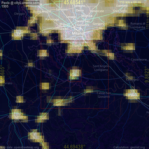
» NASA, Earths city lights 1995
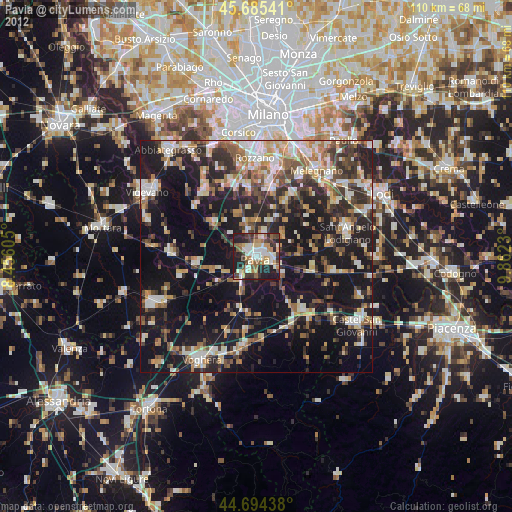
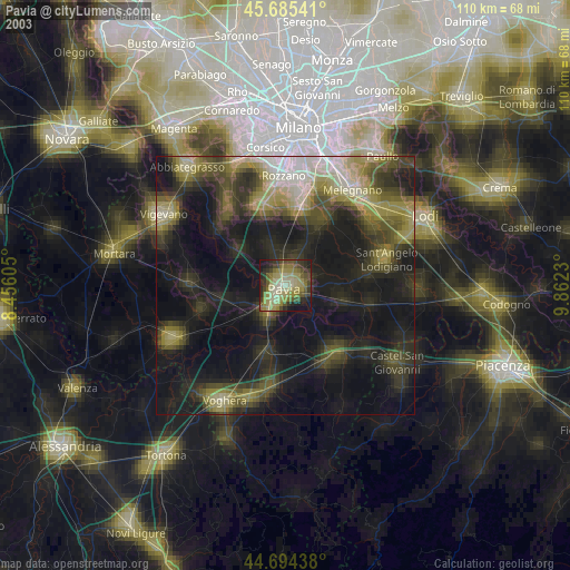
» NASA city lights 2003
» Earth at Night: Flat Maps 2012, 2016