Parabiago night lights from space
Night Light of Parabiago (Lombardy) from space (Italy) Src. Average luminocity for 10x10km area is 86.6% and for 50x50km: 67.8752%.
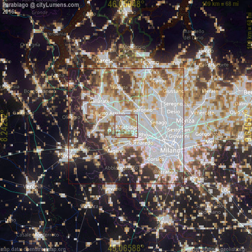
Analysis of Parabiago night lights 2016
Square area 10x10 km:
 32.73%
90-99
25.91%80-89
9.09%70-79
12.73%60-69
11.21%50-59
6.97%40-49
1.36%30-39
0%20-29
0%10-19
0%0-9
0%Square area 50x50 km:
25.18%90-99
16.07%80-89
6.3%70-79
7.47%60-69
8.07%50-59
5.5%40-49
5.57%30-39
5.83%20-29
9.34%10-19
7.98%0-9
2.7%Clear (daylight) street map image can be seen on geolist.org.
Map coordinates:
46° 3' 1.7" North, 8° 14' 32.4" East
45° 33' 37.2" North, 8° 56' 43.6" East
45° 3' 57.2" North, 9° 38' 54.9" East
Some cities around Parabiago sort by population:
• Legnano
4.8 km =3 mi,  330°
330°
• Nerviano
2.7 km =1.7 mi,  106°
106°
• Canegrate
1.7 km =1.1 mi,  301°
301°
• Cerro Maggiore
3.8 km =2.4 mi,  10°
10°
• San Vittore Olona
2.8 km =1.7 mi,  353°
353°
• Pogliano Milanese
4.5 km =2.8 mi,  123°
123°
• San Giorgio Su Legnano
2.9 km =1.8 mi, 301°
• Villa Cortese
4.6 km =2.9 mi,  278°
278°
3171484 (p: 26,364)
Sources (retrieved 2019-11-25):
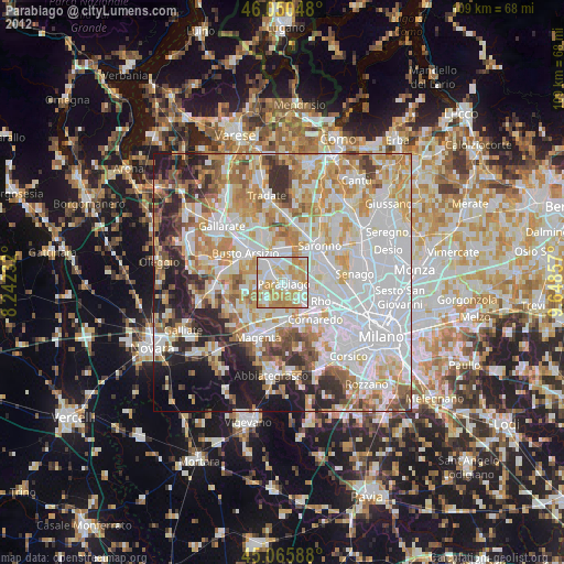
» Earth at Night: Flat Maps 2012, 2016