Legnano night lights from space
Night Light of Legnano (Lombardy) from space (Italy) Src. Average luminocity for 10x10km area is 91.3424% and for 50x50km: 67.7769%.
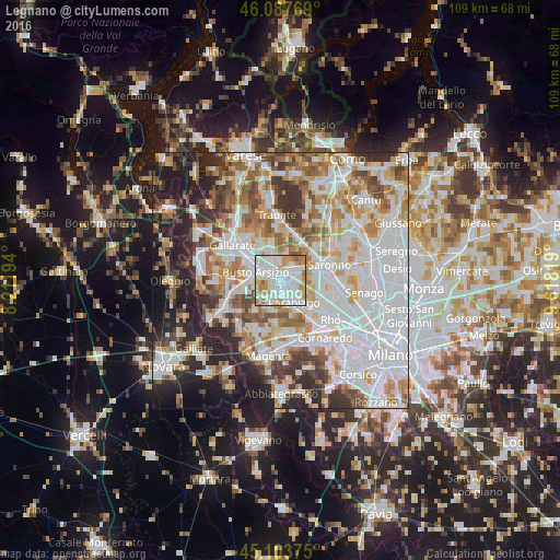
Analysis of Legnano night lights 2016
Square area 10x10 km:
 41.67%
90-99
30%80-89
5.3%70-79
13.03%60-69
7.58%50-59
1.97%40-49
0.45%30-39
0%20-29
0%10-19
0%0-9
0%Square area 50x50 km:
23.35%90-99
16.66%80-89
6.26%70-79
7.41%60-69
8.53%50-59
6.52%40-49
6.09%30-39
6.05%20-29
9.74%10-19
8.24%0-9
1.15%Clear (daylight) street map image can be seen on geolist.org.
Map coordinates:
46° 5' 15.7" North, 8° 12' 43" East
45° 35' 52.4" North, 8° 54' 54.2" East
45° 6' 13.5" North, 9° 37' 5.5" East
Some cities around Legnano sort by population:
• Castellanza
2.1 km =1.3 mi,  314°
314°
• Rescaldina
3.6 km =2.2 mi,  46°
46°
• Canegrate
3.4 km =2.1 mi,  164°
164°
• Cerro Maggiore
3.1 km =1.9 mi,  98°
98°
• San Vittore Olona
2.4 km =1.5 mi,  123°
123°
• Marnate
3.4 km =2.1 mi,  352°
352°
• San Giorgio Su Legnano
2.7 km =1.7 mi,  182°
182°
• Villa Cortese
4.1 km =2.5 mi,  212°
212°
3174921 (p: 57,589)
Sources (retrieved 2019-11-25):
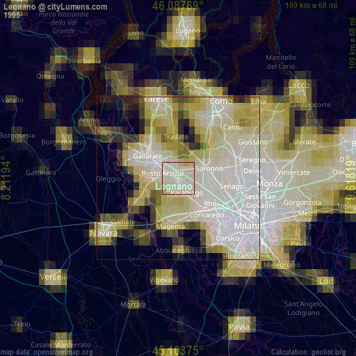
» NASA, Earths city lights 1995
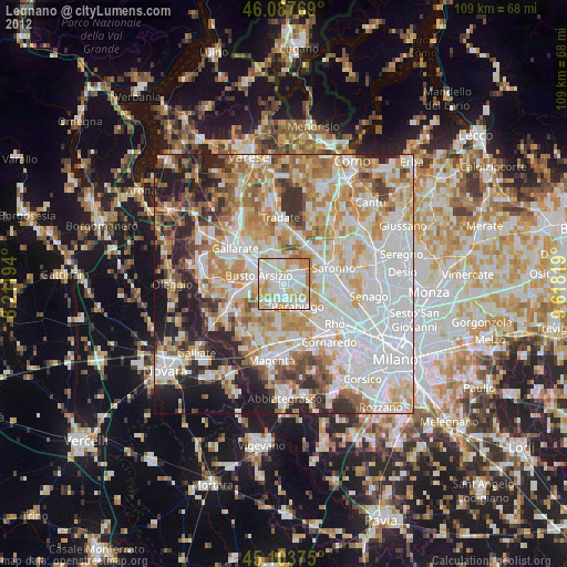
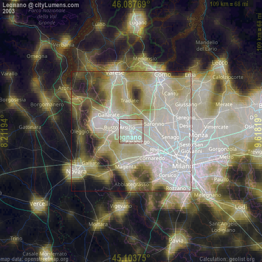
» NASA city lights 2003
» Earth at Night: Flat Maps 2012, 2016