Padova night lights from space
Night Light of Padova (Veneto) from space (Italy) Src. Average luminocity for 10x10km area is 95.873% and for 50x50km: 48.7079%.
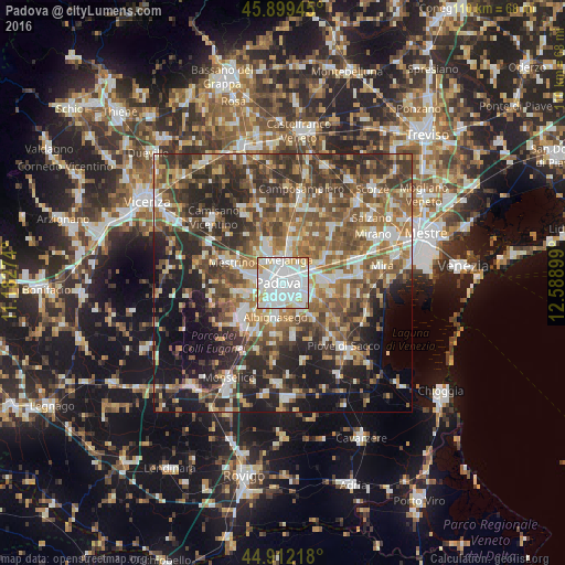
Analysis of Padova night lights 2016
Square area 10x10 km:
 47.46%
90-99
36.67%80-89
8.73%70-79
5.71%60-69
1.43%50-59
0%40-49
0%30-39
0%20-29
0%10-19
0%0-9
0%Square area 50x50 km:
6.9%90-99
9.16%80-89
4.82%70-79
6.06%60-69
8.31%50-59
10.27%40-49
10.64%30-39
9.33%20-29
13.58%10-19
12.9%0-9
8.02%Clear (daylight) street map image can be seen on geolist.org.
Map coordinates:
45° 53' 58" North, 11° 10' 57.9" East
45° 24' 28.7" North, 11° 53' 9.1" East
44° 54' 43.8" North, 12° 35' 20.4" East
Some cities around Padova sort by population:
• Ponte San Nicolò
5.4 km =3.4 mi,  147°
147°
• Mejaniga
5.8 km =3.6 mi,  16°
16°
• Noventa
5.1 km =3.2 mi,  82°
82°
• Sarmeola
5.7 km =3.5 mi,  288°
288°
• Tencarola
6.2 km =3.9 mi,  256°
256°
• Vigodarzere
5.5 km =3.4 mi,  359°
359°
• Mandriola-Sant'Agostino
5.1 km =3.2 mi,  212°
212°
• Caselle
5.4 km =3.4 mi,  273°
273°
3171728 (p: 203,725)
Sources (retrieved 2019-11-25):
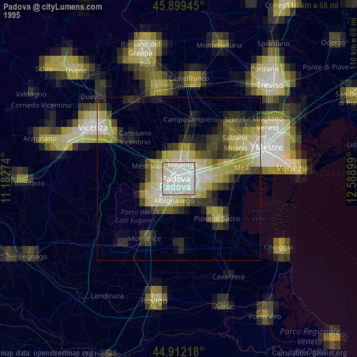
» NASA, Earths city lights 1995
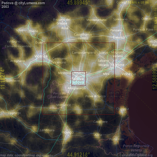
» NASA city lights 2003
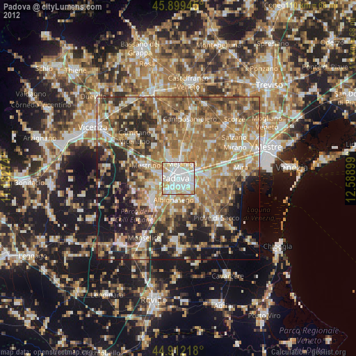
» Earth at Night: Flat Maps 2012, 2016