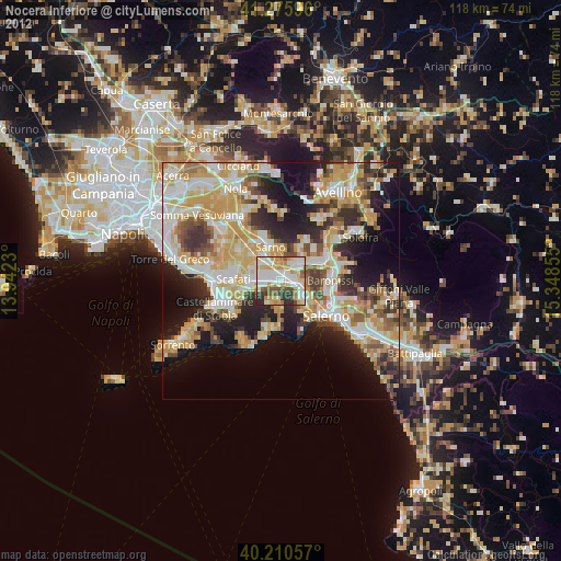
Nocera Inferiore night lights from space
Night Light of Nocera Inferiore (Campania) from space (Italy) Src. Average luminocity for 10x10km area is 75.1088% and for 50x50km: 42.0447%.
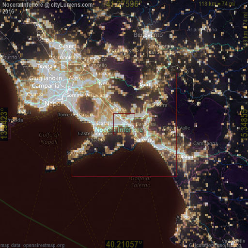
Analysis of Nocera Inferiore night lights 2016
Square area 10x10 km:
 20.45%
90-99
25.49%80-89
6.98%70-79
7.31%60-69
8.77%50-59
8.6%40-49
8.44%30-39
10.71%20-29
3.25%10-19
0%0-9
0%Square area 50x50 km:
6.9%90-99
9.15%80-89
5.14%70-79
5.99%60-69
7.14%50-59
6.27%40-49
4.98%30-39
7.31%20-29
9.85%10-19
12.75%0-9
24.52%Clear (daylight) street map image can be seen on geolist.org.
Map coordinates:
41° 16' 33.5" North, 13° 56' 32.3" East
40° 44' 43.4" North, 14° 38' 43.5" East
40° 12' 38.1" North, 15° 20' 54.8" East
Some cities around Nocera Inferiore sort by population:
• Pagani
2.6 km =1.6 mi,  261°
261°
• Angri
6.3 km =3.9 mi, 262°
• San Marzano sul Sarno
6.6 km =4.1 mi,  303°
303°
• San Valentino Torio
6.2 km =3.9 mi,  325°
325°
• Sant'Egidio del Monte Albino
4.4 km =2.7 mi, 260°
• Castel San Giorgio
6.2 km =3.9 mi,  48°
48°
• Roccapiemonte
4.2 km =2.6 mi,  66°
66°
• Lanzara
4.2 km =2.6 mi,  38°
38°
3172244 (p: 45,086)
Sources (retrieved 2019-11-25):
» Earth at Night: Flat Maps 2012, 2016