Montecchio Maggiore-Alte Ceccato night lights from space
Night Light of Montecchio Maggiore-Alte Ceccato (Veneto) from space (Italy) Src. Average luminocity for 10x10km area is 62.9413% and for 50x50km: 35.1657%.
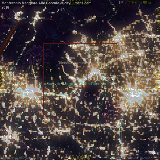
Analysis of Montecchio Maggiore-Alte Ceccato night lights 2016
Square area 10x10 km:
 12.22%
90-99
16.67%80-89
3.33%70-79
8.41%60-69
8.41%50-59
8.89%40-49
15.71%30-39
17.62%20-29
7.94%10-19
0.79%0-9
0%Square area 50x50 km:
3.96%90-99
5.93%80-89
3.44%70-79
3.84%60-69
4.2%50-59
6.07%40-49
7.14%30-39
8.94%20-29
16.3%10-19
20.35%0-9
19.83%Clear (daylight) street map image can be seen on geolist.org.
Map coordinates:
45° 59' 39.6" North, 10° 42' 32" East
45° 30' 13.3" North, 11° 24' 43.2" East
45° 0' 31.5" North, 12° 6' 54.5" East
Some cities around Montecchio Maggiore-Alte Ceccato sort by population:
• Vicenza
11.6 km =7.2 mi,  65°
65°
• Arzignano
6.3 km =3.9 mi,  286°
286°
• Lonigo
13.3 km =8.3 mi,  189°
189°
• Chiampo
11.2 km =7 mi,  295°
295°
• Caldogno-Rettorgole-Cresole
13.6 km =8.5 mi,  31°
31°
• Altavilla Vicentina
4.6 km =2.9 mi,  76°
76°
• Creazzo
6 km =3.7 mi,  58°
58°
• Trissino
6.8 km =4.2 mi,  336°
336°
3172979 (p: 20,815)
Sources (retrieved 2019-11-25):
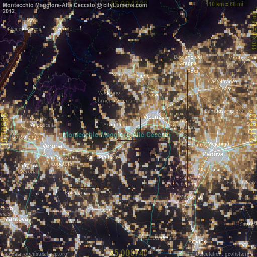
» Earth at Night: Flat Maps 2012, 2016